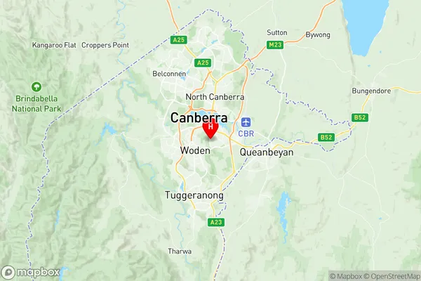
Red Hill (ACT) Suburbs & Region, Red Hill (ACT) Map & Postcodes
Red Hill (ACT) Suburbs & Region, Red Hill (ACT) Map & Postcodes in Red Hill (ACT), South Canberra, Australian Capital Territory, ACT, AU
Red Hill (ACT) Region
Region Name
Red Hill (ACT) (ACT, AU)Red Hill (ACT) Area
4.86 square kilometers (4.86 ㎢)Postal Codes
2603 (In total, there are 1 postcodes in Red Hill (ACT).)Red Hill (ACT) Introduction
Red Hill is a suburb in the Australian Capital Territory (ACT) in Australia. It is located in the northern part of the city and is bordered by the Molonglo River to the east, the Australian National University to the south, and the Barton Highway to the west. Red Hill is known for its historic buildings, including the Red Hill Hotel, which was built in 1868, and the Red Hill Cemetery, which was established in 1862. The suburb also has a number of parks and recreational facilities, including the Red Hill Nature Reserve, which is a popular spot for birdwatching and hiking. Red Hill is a popular residential area with a mix of older and newer homes, and it is close to a number of schools, shops, and restaurants.Australia State
City or Big Region
Greater Capital City
Australian Capital Territory (8ACTE)District or Regional Area
Suburb Name
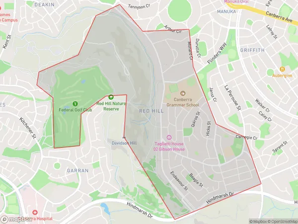
Red Hill (ACT) Region Map

Red Hill (ACT) Postcodes / Zip Codes
Red Hill (ACT) Suburbs
Red Hill (ACT) full address
Red Hill (ACT), South Canberra, Australian Capital Territory, ACT, Australia, SaCode: 801061069Country
Red Hill (ACT), South Canberra, Australian Capital Territory, ACT, Australia, SaCode: 801061069
Red Hill (ACT) Suburbs & Region, Red Hill (ACT) Map & Postcodes has 0 areas or regions above, and there are 1 Red Hill (ACT) suburbs below. The sa2code for the Red Hill (ACT) region is 801061069. Its latitude and longitude coordinates are -35.334,149.124. Red Hill (ACT) area belongs to Australia's greater capital city Australian Capital Territory.
Red Hill (ACT) Suburbs & Localities
1. Red Hill
