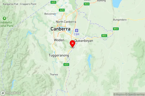
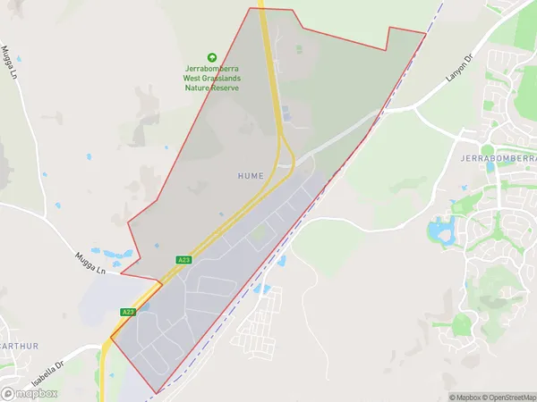
Hume Suburbs & Region, Hume Map & Postcodes
Hume Suburbs & Region, Hume Map & Postcodes in Hume, Tuggeranong, Australian Capital Territory, ACT, AU
Hume Region
Region Name
Hume (ACT, AU)Hume Area
8.56 square kilometers (8.56 ㎢)Postal Codes
2620 (In total, there are 1 postcodes in Hume.)Hume Introduction
Hume is a town in the Australian Capital Territory (ACT), located 15 kilometers southwest of Canberra's central business district. It is part of the Canberra Statistical Division and has a population of 43,778 as of 2021. The town is named after Scottish philosopher David Hume and was established in 1913 to service the surrounding agricultural area. Hume has a number of parks and recreational facilities, including the Hume Showground, the Hume Football Club, and the Hume Tennis Club. The town is also home to the Hume Library and the Hume Museum. Hume is a popular destination for tourists and is known for its beautiful countryside and relaxed lifestyle.Australia State
City or Big Region
Greater Capital City
Australian Capital Territory (8ACTE)District or Regional Area
Suburb Name
Hume Region Map

Hume Postcodes / Zip Codes
Hume Suburbs
Hume full address
Hume, Tuggeranong, Australian Capital Territory, ACT, Australia, SaCode: 801031031Country
Hume, Tuggeranong, Australian Capital Territory, ACT, Australia, SaCode: 801031031
Hume Suburbs & Region, Hume Map & Postcodes has 0 areas or regions above, and there are 1 Hume suburbs below. The sa2code for the Hume region is 801031031. Its latitude and longitude coordinates are -35.387,149.17. Hume area belongs to Australia's greater capital city Australian Capital Territory.
Hume Suburbs & Localities
1. Hume
