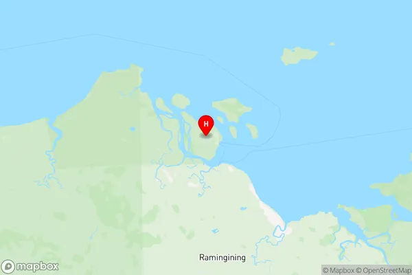
East Arnhem Suburbs & Region, East Arnhem Map & Postcodes
East Arnhem Suburbs & Region, East Arnhem Map & Postcodes in East Arnhem, Northern Territory Outback, NT, AU
East Arnhem Region
Region Name
East Arnhem (NT, AU)East Arnhem Area
30990 square kilometers (30,990 ㎢)East Arnhem Introduction
East Arnhem is a remote Aboriginal community in the Northern Territory of Australia. It is located in the East Arnhem Land region, about 1,500 kilometers northeast of Darwin. The community is made up of several different clans, each with its own unique language and culture. The traditional owners of the land have been living in the area for thousands of years, and their culture is deeply intertwined with the land and its resources. East Arnhem is known for its stunning natural beauty, including the Katherine River and the Arnhem Land National Park. The community also has a rich cultural heritage, with traditional art, music, and dance being an important part of daily life.Australia State
City or Big Region
Greater Capital City
Rest of NT (7RNTE)District or Regional Area
Suburb Name
East Arnhem Region Map

East Arnhem Suburbs
East Arnhem full address
East Arnhem, Northern Territory Outback, Northern Territory, NT, Australia, SaCode: 702041063Country
East Arnhem, Northern Territory Outback, Northern Territory, NT, Australia, SaCode: 702041063
East Arnhem Suburbs & Region, East Arnhem Map & Postcodes has 0 areas or regions above, and there are 0 East Arnhem suburbs below. The sa2code for the East Arnhem region is 702041063. Its latitude and longitude coordinates are -12.0939,134.897. East Arnhem area belongs to Australia's greater capital city Rest of NT.
