Galiwinku Area, Galiwinku Postcode(0822) & Map in Galiwinku, Northern Territory - Outback, NT
Galiwinku Area, Galiwinku Postcode(0822) & Map in Galiwinku, Northern Territory - Outback, NT, AU, Postcode: 0822
Galiwinku, East Arnhem, East Arnhem, Northern Territory - Outback, Northern Territory, Australia, 0822
Galiwinku Postcode
Area Name
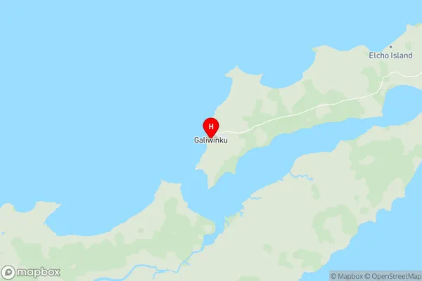
GaliwinkuGaliwinku Suburb Area Map (Polygon)

Galiwinku Introduction
Galiwinku is a remote Aboriginal community in the Northern Territory of Australia. It is known for its stunning landscapes, including the nearby Galiwin'ku Beach and the nearby Arnhem Land. The community is home to around 1,000 people, most of whom are Indigenous Australians. The area is rich in cultural heritage, with many traditional practices and ceremonies still practiced today.State Name
City or Big Region
District or Regional Area
Suburb Name
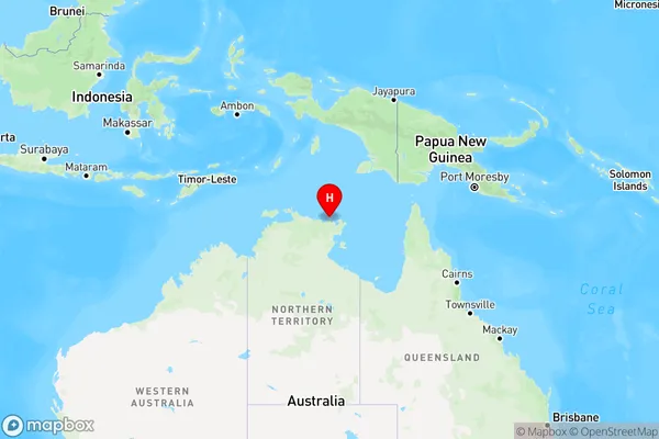
Galiwinku Region Map
Country
Main Region in AU
R1Coordinates
-12.0247,135.568 (latitude/longitude)Galiwinku Area Map (Street)
Longitude
130.6254299Latitude
-11.75841975Galiwinku Elevation
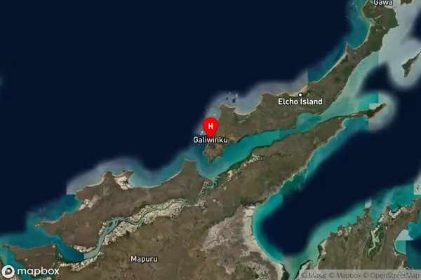
about 15.86 meters height above sea level (Altitude)Galiwinku Suburb Map (Satellite)
Distances
The distance from Galiwinku, Northern Territory - Outback, NT to AU Greater Capital CitiesSA1 Code 2011
70204106307SA1 Code 2016
70204106307SA2 Code
702041063SA3 Code
70204SA4 Code
702RA 2011
5RA 2016
5MMM 2015
7MMM 2019
7Charge Zone
NT1LGA Region
Tiwi IslandsLGA Code
74050Electorate
Solomon