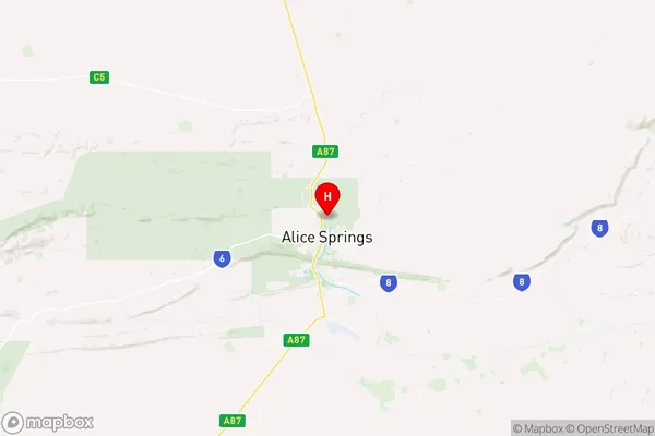
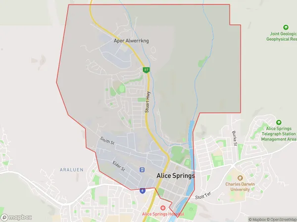
Charles Suburbs & Region, Charles Map & Postcodes
Charles Suburbs & Region, Charles Map & Postcodes in Charles, Barkly, Northern Territory Outback, NT, AU
Charles Region
Region Name
Charles (NT, AU)Charles Area
16.69 square kilometers (16.69 ㎢)Postal Codes
from 0870 to 0872 (In total, there are 3 postcodes in Charles.)Charles Introduction
Charles is a locality in the Northern Territory of Australia. It is located about 125 miles northeast of the territory capital of Darwin. The town is situated on the Stuart Highway and is a popular stopping point for travelers heading to the Northern Territory's interior. The town has a population of around 200 people and is home to a variety of businesses, including a hotel, a general store, and a fuel station. The surrounding area is known for its stunning natural beauty, including the Katherine Gorge and the Arnhem Land National Park. Charles is also a popular base for exploring the nearby Nitmiluk (Katherine) National Park, which is home to a variety of indigenous cultures and wildlife.Australia State
City or Big Region
Greater Capital City
Rest of NT (7RNTE)District or Regional Area
Suburb Name
Charles Region Map

Charles Postcodes / Zip Codes
Charles Suburbs
Charles full address
Charles, Barkly, Northern Territory Outback, Northern Territory, NT, Australia, SaCode: 702011045Country
Charles, Barkly, Northern Territory Outback, Northern Territory, NT, Australia, SaCode: 702011045
Charles Suburbs & Region, Charles Map & Postcodes has 0 areas or regions above, and there are 6 Charles suburbs below. The sa2code for the Charles region is 702011045. Its latitude and longitude coordinates are -23.6765,133.882. Charles area belongs to Australia's greater capital city Rest of NT.
Charles Suburbs & Localities
1. Braitling
2. Alice Springs
3. Alice Springs
4. Ciccone
5. Stuart
6. Alice Springs
