Hobart Suburbs & Region, Hobart Map & Postcodes
Hobart Suburbs & Region, Hobart Map & Postcodes in Hobart, South East Coast, South East, TAS, AU
Hobart Region
Region Name
Hobart (TAS, AU)Hobart Area
6.62 square kilometers (6.62 ㎢)Postal Codes
from 7000 to 7002, and 7004 (In total, there are 4 postcodes in Hobart.)Hobart Introduction
Hobart is the capital and most populous city of the Australian island state of Tasmania. It is located in the state's south-east, on the estuary of the Derwent River, about 200 km (120 mi) south of the state capital, Melbourne. Hobart is known for its picturesque harbor, historic buildings, and vibrant cultural scene. The city is home to many museums, galleries, and theaters, including the Museum of Old and New Art (MONA) and the Tasmanian Museum and Art Gallery. Hobart is also a popular tourist destination, with many visitors arriving each year to explore the city's natural beauty, including the Mount Wellington National Park and the Tasmanian Devil Conservation Park.Australia State
City or Big Region
Greater Capital City
Greater Hobart (6GHOB)District or Regional Area
Suburb Name
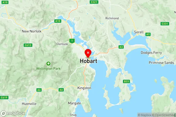
Hobart Region Map

Hobart Postcodes / Zip Codes
Hobart Suburbs
Hobart full address
Hobart, South East Coast, South East, Tasmania, TAS, Australia, SaCode: 601051027Country
Hobart, South East Coast, South East, Tasmania, TAS, Australia, SaCode: 601051027
Hobart Suburbs & Region, Hobart Map & Postcodes has 0 areas or regions above, and there are 8 Hobart suburbs below. The sa2code for the Hobart region is 601051027. Its latitude and longitude coordinates are -42.8739,147.326. Hobart area belongs to Australia's greater capital city Greater Hobart.
Hobart Suburbs & Localities
1. North Hobart
2. Battery Point
3. Queens Domain
4. Glebe
5. Hobart
6. Bathurst Street Po
7. Hobart
8. North Hobart
