Moonah Suburbs & Region, Moonah Map & Postcodes
Moonah Suburbs & Region, Moonah Map & Postcodes in Moonah, Hobart North West, Hobart, TAS, AU
Moonah Region
Region Name
Moonah (TAS, AU)Moonah Area
2.79 square kilometers (2.79 ㎢)Postal Codes
7009 (In total, there are 1 postcodes in Moonah.)Moonah Introduction
Moonah is a suburb of Hobart, Tasmania, Australia. It is located in the City of Hobart local government area. The suburb is named after the Moonah Creek, which flows through it. The creek was named by Lieutenant-Colonel David Collins, who was the first European to explore the area. The suburb has a variety of housing styles, including historic homes and modern apartments. It is located close to the Hobart CBD and has a variety of shops, cafes, and restaurants. The suburb also has a number of parks and recreational facilities, including the Moonah Reserve and the Hobart Botanical Gardens.Australia State
City or Big Region
Greater Capital City
Greater Hobart (6GHOB)District or Regional Area
Suburb Name
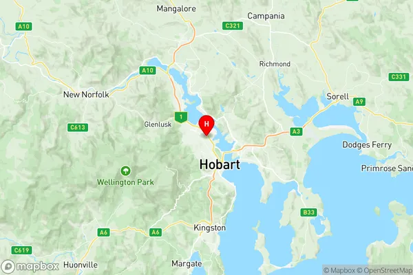
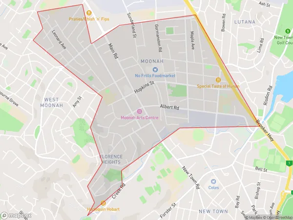
Moonah Region Map

Moonah Postcodes / Zip Codes
Moonah Suburbs
Moonah full address
Moonah, Hobart North West, Hobart, Tasmania, TAS, Australia, SaCode: 601031019Country
Moonah, Hobart North West, Hobart, Tasmania, TAS, Australia, SaCode: 601031019
Moonah Suburbs & Region, Moonah Map & Postcodes has 0 areas or regions above, and there are 1 Moonah suburbs below. The sa2code for the Moonah region is 601031019. Its latitude and longitude coordinates are -42.8431,147.302. Moonah area belongs to Australia's greater capital city Greater Hobart.
Moonah Suburbs & Localities
1. Moonah
