Mornington Warrane Suburbs & Region, Mornington Warrane Map & Postcodes
Mornington Warrane Suburbs & Region, Mornington Warrane Map & Postcodes in Mornington Warrane, Hobart North East, Hobart, TAS, AU
Mornington Warrane Region
Region Name
Mornington Warrane (TAS, AU)Mornington Warrane Area
8.21 square kilometers (8.21 ㎢)Postal Codes
7018 (In total, there are 1 postcodes in Mornington Warrane.)Mornington Warrane Introduction
Mornington Warrane is a suburb of Hobart, Tasmania, Australia. It is located in the city's southern suburbs and is named after the former Governor of Tasmania, Sir William Warrane. The suburb is home to a variety of amenities, including a shopping center, a hospital, and several parks. It is also home to a number of historic buildings, including the Mornington Warrane Historic Site, which is a collection of buildings that date back to the early 19th century. The suburb is a popular residential area with a mix of older and newer homes.Australia State
City or Big Region
Greater Capital City
Greater Hobart (6GHOB)District or Regional Area
Suburb Name
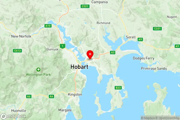
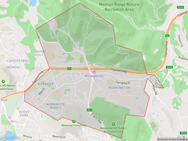
Mornington Warrane Region Map

Mornington Warrane Postcodes / Zip Codes
Mornington Warrane Suburbs
Mornington Warrane full address
Mornington Warrane, Hobart North East, Hobart, Tasmania, TAS, Australia, SaCode: 601021009Country
Mornington Warrane, Hobart North East, Hobart, Tasmania, TAS, Australia, SaCode: 601021009
Mornington Warrane Suburbs & Region, Mornington Warrane Map & Postcodes has 0 areas or regions above, and there are 2 Mornington Warrane suburbs below. The sa2code for the Mornington Warrane region is 601021009. Its latitude and longitude coordinates are -42.8597,147.377. Mornington Warrane area belongs to Australia's greater capital city Greater Hobart.
Mornington Warrane Suburbs & Localities
1. Warrane
2. Mornington
