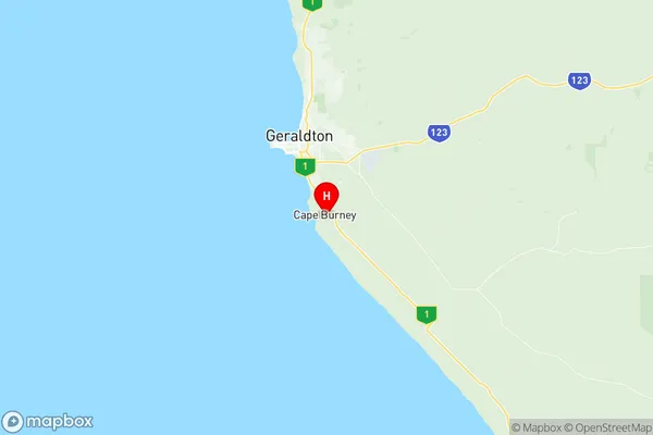
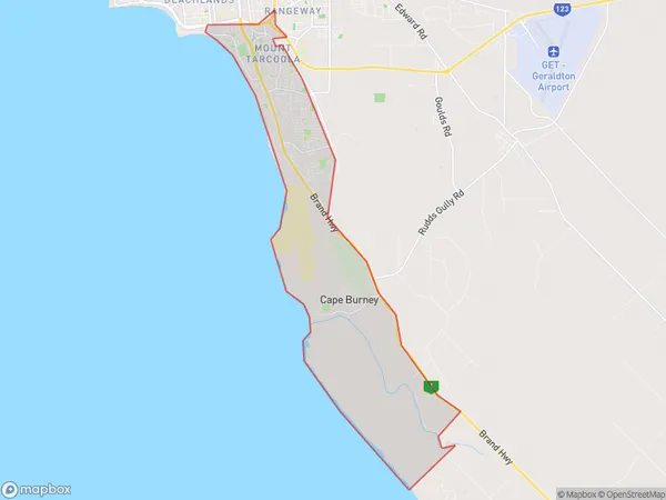
Geraldton South Suburbs & Region, Geraldton South Map & Postcodes
Geraldton South Suburbs & Region, Geraldton South Map & Postcodes in Geraldton South, Mid West, Western Australia Outback, WA, AU
Geraldton South Region
Region Name
Geraldton South (WA, AU)Geraldton South Area
26.29 square kilometers (26.29 ㎢)Postal Codes
6530, and 6532 (In total, there are 2 postcodes in Geraldton South.)Geraldton South Introduction
Geraldton South is a suburb of Geraldton, a city in the Mid West region of Western Australia, 225 kilometers northeast of Perth, the state capital. The town was established in 1869 and named after Geraldton, the fourth earl of Geraldine. It is a significant agricultural and mining center, with a port handling iron ore, coal, and other commodities. The town has a population of around 20,000 people and is known for its beautiful beaches, vibrant arts scene, and historic architecture.Australia State
City or Big Region
Greater Capital City
Rest of WA (5RWAU)District or Regional Area
Suburb Name
Geraldton South Region Map

Geraldton South Postcodes / Zip Codes
Geraldton South Suburbs
Geraldton South full address
Geraldton South, Mid West, Western Australia Outback, Western Australia, WA, Australia, SaCode: 511041288Country
Geraldton South, Mid West, Western Australia Outback, Western Australia, WA, Australia, SaCode: 511041288
Geraldton South Suburbs & Region, Geraldton South Map & Postcodes has 0 areas or regions above, and there are 5 Geraldton South suburbs below. The sa2code for the Geraldton South region is 511041288. Its latitude and longitude coordinates are -28.8608,114.649. Geraldton South area belongs to Australia's greater capital city Rest of WA.
Geraldton South Suburbs & Localities
1. Wandina
2. Tarcoola Beach
3. Cape Burney
4. Mahomets Flats
5. Mount Tarcoola
