ZipCode 6530 Areas, AU PostCode 6530 Suburbs
Postcode 6530 Suburbs, ZipCode 6530 Areas & Regions in Mid West,WA Australia
There are at least 23 AU suburbs share the same AU PostCode 6530 Suburbs in Mid West.
Postal Code 6530 Regions
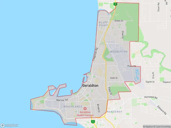
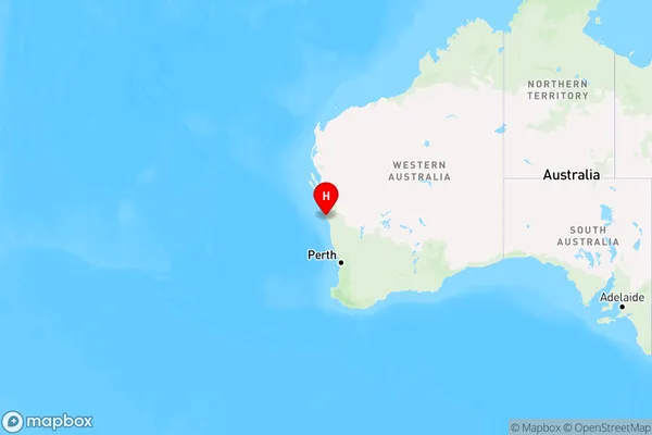
The Australia postcode 6530 regions include Geraldton - East, Geraldton - North, Geraldton, Geraldton - South in the areas of Mid West, Geraldton - East, These postcode areas are all located in the state Western Australia, WA.Australia postcode 6530 is located in the state of Western Australia, in the town of Albany. It covers an area of approximately 2.2 square kilometers and has a population of approximately 10,000 people. The postcode is known for its beautiful beaches, scenic landscapes, and wildlife. It is also home to the Albany Wind Farm, which is one of the largest wind farms in the world.
ZipCode 6530 Areas Map for Geraldton - East

AU PostCode 6530 Suburbs Map for Geraldton - North

Postal Code 6530 Regions Map for Geraldton
AU PostCode 6530 Suburbs
AU PostCode 6530 suburbs contain Karloo, Utakarra, Waggrakine, West End, Wonthella, Beachlands, Houtman Abrolhos, Meru, Moresby, Rangeway, Strathalbyn, Sunset Beach, Wandina, Webberton, Geraldton, Geraldton Dc, Spalding, Tarcoola Beach, Woorree, Beresford, Bluff Point, Mahomets Flats, Mount Tarcoola, you can check the below link to see the 23 suburbs detailed information.
AU PostCode 6530 Suburbs Map
ZipCode 6530 Areas
1. Karloo
2. Utakarra
3. Waggrakine
4. West End
5. Wonthella
6. Beachlands
7. Houtman Abrolhos
8. Meru
9. Moresby
10. Rangeway
11. Strathalbyn
12. Sunset Beach
13. Wandina
14. Webberton
15. Geraldton
16. Geraldton Dc
17. Spalding
18. Tarcoola Beach
19. Woorree
20. Beresford
21. Bluff Point
22. Mahomets Flats
23. Mount Tarcoola