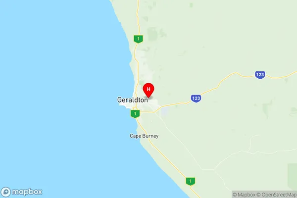
Geraldton East Suburbs & Region, Geraldton East Map & Postcodes
Geraldton East Suburbs & Region, Geraldton East Map & Postcodes in Geraldton East, Mid West, Western Australia Outback, WA, AU
Geraldton East Region
Region Name
Geraldton East (WA, AU)Geraldton East Area
80.97 square kilometers (80.97 ㎢)Postal Codes
6530, and 6532 (In total, there are 2 postcodes in Geraldton East.)Geraldton East Introduction
Geraldton East is a small town in the Mid West region of Western Australia, 225 kilometers east of Perth, the state capital. It is the administrative center of the Geraldton Region, which has a population of around 30,000 people. The town is known for its agricultural industry, particularly the production of wheat, barley, and sheep. It also has a port on the Indian Ocean, which is used for exporting agricultural products. The town has a number of historic buildings, including the Geraldton Courthouse, which was built in 1897. The town also has a number of parks and recreational facilities, including a golf course and a swimming pool.Australia State
City or Big Region
Greater Capital City
Rest of WA (5RWAU)District or Regional Area
Suburb Name
Geraldton East Region Map

Geraldton East Postcodes / Zip Codes
Geraldton East Suburbs
Geraldton East full address
Geraldton East, Mid West, Western Australia Outback, Western Australia, WA, Australia, SaCode: 511041286Country
Geraldton East, Mid West, Western Australia Outback, Western Australia, WA, Australia, SaCode: 511041286
Geraldton East Suburbs & Region, Geraldton East Map & Postcodes has 0 areas or regions above, and there are 9 Geraldton East suburbs below. The sa2code for the Geraldton East region is 511041286. Its latitude and longitude coordinates are -28.7683,114.659. Geraldton East area belongs to Australia's greater capital city Rest of WA.
Geraldton East Suburbs & Localities
1. Karloo
2. Utakarra
3. Rudds Gully
4. Meru
5. Rangeway
6. Strathalbyn
7. Narngulu
8. Woorree
9. Deepdale
