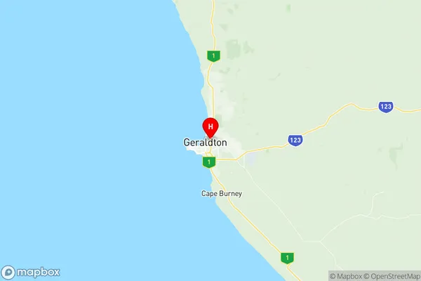
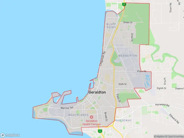
Geraldton Suburbs & Region, Geraldton Map & Postcodes
Geraldton Suburbs & Region, Geraldton Map & Postcodes in Geraldton, Mid West, Western Australia Outback, WA, AU
Geraldton Region
Region Name
Geraldton (WA, AU)Geraldton Area
21.88 square kilometers (21.88 ㎢)Postal Codes
6530, and 6531 (In total, there are 2 postcodes in Geraldton.)Geraldton Introduction
Geraldton is a port city in Western Australia's Mid West region, 225 miles north of Perth. It is the administrative center of the Geraldton Region, which has a population of 42,000 people. The city is known for its agricultural industry, particularly the production of wheat, sheep, and cattle. It is also home to several historic buildings, including the Geraldton Courthouse and the Old Geraldton Gaol. The nearby Cape Range National Park offers stunning scenery and a variety of outdoor activities, including hiking, snorkeling, and fishing. Geraldton is a popular tourist destination and is known for its friendly locals and relaxed atmosphere.Australia State
City or Big Region
Greater Capital City
Rest of WA (5RWAU)District or Regional Area
Suburb Name
Geraldton Region Map

Geraldton Postcodes / Zip Codes
Geraldton Suburbs
Geraldton full address
Geraldton, Mid West, Western Australia Outback, Western Australia, WA, Australia, SaCode: 511041285Country
Geraldton, Mid West, Western Australia Outback, Western Australia, WA, Australia, SaCode: 511041285
Geraldton Suburbs & Region, Geraldton Map & Postcodes has 0 areas or regions above, and there are 12 Geraldton suburbs below. The sa2code for the Geraldton region is 511041285. Its latitude and longitude coordinates are -28.7672,114.625. Geraldton area belongs to Australia's greater capital city Rest of WA.
Geraldton Suburbs & Localities
1. Beachlands
2. Beresford
3. Bluff Point
4. Geraldton
5. Geraldton Dc
6. Houtman Abrolhos
7. Spalding
8. Webberton
9. West End
10. Wonthella
11. Geraldton
12. Geraldton Po
