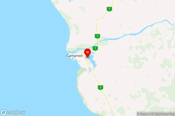
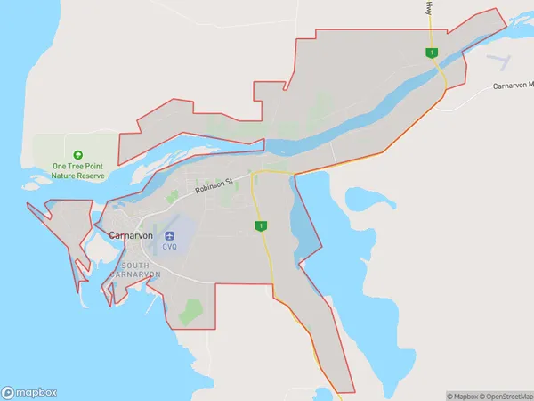
Carnarvon Suburbs & Region, Carnarvon Map & Postcodes
Carnarvon Suburbs & Region, Carnarvon Map & Postcodes in Carnarvon, Gascoyne, Western Australia Outback, WA, AU
Carnarvon Region
Region Name
Carnarvon (WA, AU)Carnarvon Area
78.27 square kilometers (78.27 ㎢)Carnarvon Introduction
Carnarvon is a remote town in Western Australia's Outback region, 2,500 kilometers north of Perth. It is the administrative center of the Carnarvon Shire and the gateway to the Gascoyne and Murchison regions. The town is known for its vast expanses of desert, stunning gorges, and unique wildlife, including the Carnarvon dinosaur museum and the Carnarvon National Park. Carnarvon is also a major agricultural hub, with a large number of farms and cattle stations in the surrounding area.Australia State
City or Big Region
Greater Capital City
Rest of WA (5RWAU)District or Regional Area
Suburb Name
Carnarvon Region Map

Carnarvon Suburbs
Carnarvon full address
Carnarvon, Gascoyne, Western Australia Outback, Western Australia, WA, Australia, SaCode: 511021276Country
Carnarvon, Gascoyne, Western Australia Outback, Western Australia, WA, Australia, SaCode: 511021276
Carnarvon Suburbs & Region, Carnarvon Map & Postcodes has 0 areas or regions above, and there are 0 Carnarvon suburbs below. The sa2code for the Carnarvon region is 511021276. Its latitude and longitude coordinates are -24.8926,113.718. Carnarvon area belongs to Australia's greater capital city Rest of WA.
