Greys Plain Area, Greys Plain Postcode(6701) & Map in Greys Plain, Western Australia - Outback (South), WA
Greys Plain Area, Greys Plain Postcode(6701) & Map in Greys Plain, Western Australia - Outback (South), WA, AU, Postcode: 6701
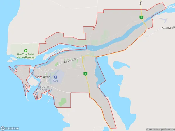
Greys Plain, Carnarvon, Gascoyne, Western Australia - Outback (South), Western Australia, Australia, 6701
Greys Plain Postcode
Area Name
Greys PlainGreys Plain Suburb Area Map (Polygon)
Greys Plain Introduction
Greys Plain is a remote outback town in Western Australia, located in the South region. It is known for its rugged terrain, including sand dunes and rocky outcrops, and is a popular destination for 4WD enthusiasts and nature lovers. The town has a population of around 100 people and is surrounded by vast cattle stations.State Name
City or Big Region
District or Regional Area
Suburb Name
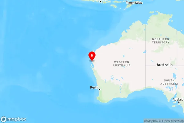
Greys Plain Region Map
Country
Main Region in AU
R3Coordinates
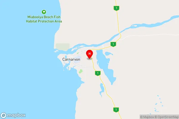
-24.882914,113.6997494 (latitude/longitude)Greys Plain Area Map (Street)
Longitude
115.15198Latitude
-24.734545Greys Plain Elevation
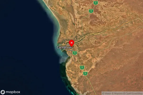
about 341.10 meters height above sea level (Altitude)Greys Plain Suburb Map (Satellite)
Distances
The distance from Greys Plain, Western Australia - Outback (South), WA to AU Greater Capital CitiesSA1 Code 2011
50802119616SA1 Code 2016
51102127602SA2 Code
511021276SA3 Code
51102SA4 Code
511RA 2011
4RA 2016
5MMM 2015
6MMM 2019
7Charge Zone
W3LGA Region
CarnarvonLGA Code
51540Electorate
Durack