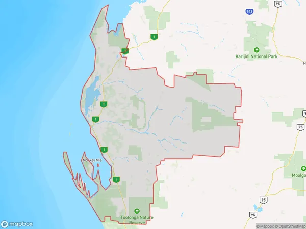
Gascoyne Suburbs & Region, Gascoyne Map & Postcodes
Gascoyne Suburbs & Region, Gascoyne Map & Postcodes in Gascoyne, Western Australia Outback (South), WA, AU
Gascoyne Region
Region Name
Gascoyne (WA, AU)Gascoyne Area
135065 square kilometers (135,065 ㎢)Gascoyne Introduction
Gascoyne is a region in Western Australia's South West, 1,100 kilometers north of Perth. It is home to the Gascoyne Junction, the largest cattle station in the world, and the Hamelin Pool, a natural swimming pool formed by an ancient coral reef. The region is known for its vast landscapes, including the Hamelin Range National Park, the Gascoyne River, and the Pinnacles Desert. The Gascoyne region has a rich history and culture, with indigenous communities living in the area for thousands of years. The region is also home to several important mining operations, including iron ore and gold.Australia State
City or Big Region
Greater Capital City
Rest of WA (5RWAU)District or Regional Area
Gascoyne Suburbs
Gascoyne full address
Gascoyne, Western Australia Outback (South), Western Australia, WA, Australia, SaCode: 51102Country
Gascoyne, Western Australia Outback (South), Western Australia, WA, Australia, SaCode: 51102
Gascoyne Suburbs & Region, Gascoyne Map & Postcodes has 0 areas or regions above, and there are 0 Gascoyne suburbs below. The sa3code for the Gascoyne region is 51102. Gascoyne area belongs to Australia's greater capital city Rest of WA.
