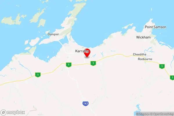
Karratha Suburbs & Region, Karratha Map & Postcodes
Karratha Suburbs & Region, Karratha Map & Postcodes in Karratha, Pilbara, Western Australia Outback, WA, AU
Karratha Region
Region Name
Karratha (WA, AU)Karratha Area
134.2 square kilometers (134.2 ㎢)Postal Codes
6714 (In total, there are 1 postcodes in Karratha.)Karratha Introduction
Karratha is a coastal city in Western Australia's Pilbara region, 225 miles northeast of Perth. It is the administrative center of the Karratha Shire and the hub of the region's iron ore mining and energy industries. The city has a population of around 20,000 people and is known for its stunning natural beauty, including the nearby Dampier Peninsula and the Hamersley Range. Karratha is also home to several important cultural sites, including the Karratha National Park and the Karratha Aboriginal Art Gallery.Australia State
City or Big Region
Greater Capital City
Rest of WA (5RWAU)District or Regional Area
Suburb Name
Karratha Region Map

Karratha Postcodes / Zip Codes
Karratha Suburbs
Karratha full address
Karratha, Pilbara, Western Australia Outback, Western Australia, WA, Australia, SaCode: 510031272Country
Karratha, Pilbara, Western Australia Outback, Western Australia, WA, Australia, SaCode: 510031272
Karratha Suburbs & Region, Karratha Map & Postcodes has 0 areas or regions above, and there are 10 Karratha suburbs below. The sa2code for the Karratha region is 510031272. Its latitude and longitude coordinates are -20.7678,116.871. Karratha area belongs to Australia's greater capital city Rest of WA.
Karratha Suburbs & Localities
1. Baynton
2. Pegs Creek
3. Bulgarra
4. Karratha Industrial Estate
5. Nickol
6. Gap Ridge
7. Karratha
8. Millars Well
9. Mulataga
10. Stove Hill
