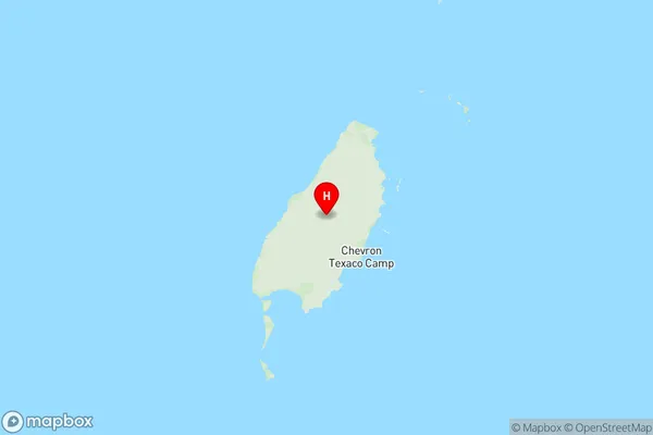
Ashburton (WA) Suburbs & Region, Ashburton (WA) Map & Postcodes
Ashburton (WA) Suburbs & Region, Ashburton (WA) Map & Postcodes in Ashburton (WA), Pilbara, Western Australia Outback, WA, AU
Ashburton (WA) Region
Region Name
Ashburton (WA) (WA, AU)Ashburton (WA) Area
100827 square kilometers (100,827 ㎢)Postal Codes
from 6710 to 6712, 6716, 6751, and 6754 (In total, there are 6 postcodes in Ashburton (WA).)Ashburton (WA) Introduction
Ashburton is a town in the Eastern Goldfields of Western Australia, 273 kilometers southeast of Perth, the state capital. It is the administrative center of the Shire of Ashburton. The town was established in 1897 and named after the British Secretary of State for the Colonies, the Earl of Ashburton. It is a major agricultural center, with wheat, sheep, and cattle being the main crops. The town also has a rail siding and a airport. The nearby Mount Leschenault is a popular hiking and climbing destination.Australia State
City or Big Region
Greater Capital City
Rest of WA (5RWAU)District or Regional Area
Suburb Name
Ashburton (WA) Region Map

Ashburton (WA) Postcodes / Zip Codes
Ashburton (WA) Suburbs
Ashburton (WA) full address
Ashburton (WA), Pilbara, Western Australia Outback, Western Australia, WA, Australia, SaCode: 510031271Country
Ashburton (WA), Pilbara, Western Australia Outback, Western Australia, WA, Australia, SaCode: 510031271
Ashburton (WA) Suburbs & Region, Ashburton (WA) Map & Postcodes has 0 areas or regions above, and there are 22 Ashburton (WA) suburbs below. The sa2code for the Ashburton (WA) region is 510031271. Its latitude and longitude coordinates are -20.7804,115.402. Ashburton (WA) area belongs to Australia's greater capital city Rest of WA.
Ashburton (WA) Suburbs & Localities
1. Yannarie
2. Thevenard Island
3. Barrow Island
4. Fortescue
5. Tom Price
6. Innawanga
7. Karijini
8. Cane
9. Talandji
10. Chichester
11. Juna Downs
12. Mount Sheila
13. Nanutarra
14. Onslow
15. Peedamulla
16. Hamersley Range
17. Millstream
18. Pannawonica
19. Mulga Downs
20. Rocklea
21. Wittenoom
22. Paraburdoo
