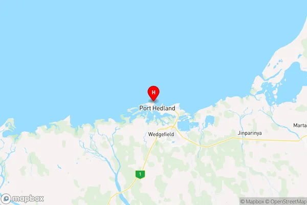
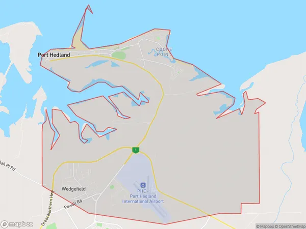
Port Hedland Suburbs & Region, Port Hedland Map & Postcodes
Port Hedland Suburbs & Region, Port Hedland Map & Postcodes in Port Hedland, Pilbara, Western Australia Outback, WA, AU
Port Hedland Region
Region Name
Port Hedland (WA, AU)Port Hedland Area
94.18 square kilometers (94.18 ㎢)Postal Codes
6721, and 6722 (In total, there are 2 postcodes in Port Hedland.)Port Hedland Introduction
Port Hedland is a port city in Western Australia, located in the Pilbara region. It is the largest city in the Pilbara and the fourth-largest city in Western Australia. The city is known for its iron ore mining, which is a major contributor to the economy of the region. Port Hedland is also a major shipping hub for exports of iron ore and other commodities. The city has a population of around 20,000 people and is located approximately 1,200 kilometers northeast of Perth, the state capital.Australia State
City or Big Region
Greater Capital City
Rest of WA (5RWAU)District or Regional Area
Suburb Name
Port Hedland Region Map

Port Hedland Postcodes / Zip Codes
Port Hedland Suburbs
Port Hedland full address
Port Hedland, Pilbara, Western Australia Outback, Western Australia, WA, Australia, SaCode: 510021269Country
Port Hedland, Pilbara, Western Australia Outback, Western Australia, WA, Australia, SaCode: 510021269
Port Hedland Suburbs & Region, Port Hedland Map & Postcodes has 0 areas or regions above, and there are 4 Port Hedland suburbs below. The sa2code for the Port Hedland region is 510021269. Its latitude and longitude coordinates are -20.2968,118.57. Port Hedland area belongs to Australia's greater capital city Rest of WA.
Port Hedland Suburbs & Localities
1. Wedgefield
2. Port Hedland
3. Redbank
4. Finucane
