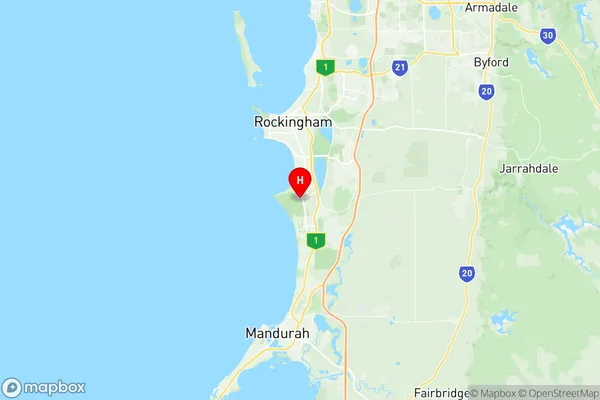
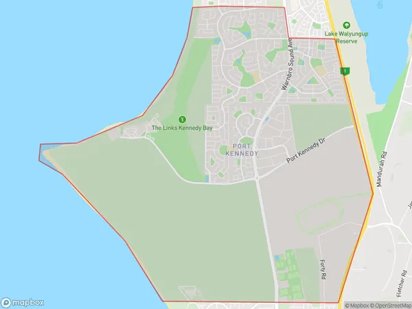
Port Kennedy Suburbs & Region, Port Kennedy Map & Postcodes
Port Kennedy Suburbs & Region, Port Kennedy Map & Postcodes in Port Kennedy, Rockingham, Perth South West, WA, AU
Port Kennedy Region
Region Name
Port Kennedy (WA, AU)Port Kennedy Area
21.21 square kilometers (21.21 ㎢)Postal Codes
6172 (In total, there are 1 postcodes in Port Kennedy.)Port Kennedy Introduction
Port Kennedy is a suburb of Perth, the capital city of Western Australia, located 20 kilometers south of Perth's central business district (CBD). It is part of the City of Rockingham and is named after Sir John Kennedy, who was the Governor of Western Australia from 1890 to 1896. The suburb is known for its beautiful beaches, including Seaford Beach and Port Kennedy Beach, and its peaceful atmosphere. It is also home to several parks, including the Port Kennedy Reserve and the John Butler Conservation Park. Port Kennedy is a popular destination for tourists and locals alike, with many restaurants, cafes, and shops located in the area. It is also a convenient location for those who work in the Perth CBD, with easy access to the Kwinana Freeway and the Perth-Mandurah railway line.Australia State
City or Big Region
Greater Capital City
Greater Perth (5GPER)District or Regional Area
Suburb Name
Port Kennedy Region Map

Port Kennedy Postcodes / Zip Codes
Port Kennedy Suburbs
Port Kennedy full address
Port Kennedy, Rockingham, Perth South West, Western Australia, WA, Australia, SaCode: 507051187Country
Port Kennedy, Rockingham, Perth South West, Western Australia, WA, Australia, SaCode: 507051187
Port Kennedy Suburbs & Region, Port Kennedy Map & Postcodes has 0 areas or regions above, and there are 1 Port Kennedy suburbs below. The sa2code for the Port Kennedy region is 507051187. Its latitude and longitude coordinates are -32.376,115.752. Port Kennedy area belongs to Australia's greater capital city Greater Perth.
Port Kennedy Suburbs & Localities
1. Port Kennedy
