Hope Valley Postans Suburbs & Region, Hope Valley Postans Map & Postcodes
Hope Valley Postans Suburbs & Region, Hope Valley Postans Map & Postcodes in Hope Valley Postans, Kwinana, Perth South West, WA, AU
Hope Valley Postans Region
Region Name
Hope Valley Postans (WA, AU)Hope Valley Postans Area
24.79 square kilometers (24.79 ㎢)Postal Codes
6165, and 6167 (In total, there are 2 postcodes in Hope Valley Postans.)Hope Valley Postans Introduction
Hope Valley Post Office opened on 1891-01-01 and was closed on 1974-06-30. It was located in the Perth suburb of Perth South West, Western Australia, AU. The post office was located in the corner of Stirling Highway and Wanneroo Road and provided postal services to the surrounding areas. It was one of several post offices in the Perth region that closed down in the late 1970s due to declining mail volumes and the introduction of new technology. The building that housed the Hope Valley Post Office is now used for other purposes. It is a popular location for weddings and other events and has been renovated to preserve its historic character.Australia State
City or Big Region
Greater Capital City
Greater Perth (5GPER)District or Regional Area
Suburb Name
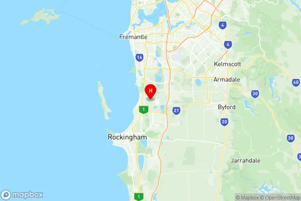
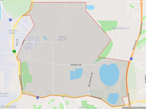
Hope Valley Postans Region Map

Hope Valley Postans Postcodes / Zip Codes
Hope Valley Postans Suburbs
Hope Valley Postans full address
Hope Valley Postans, Kwinana, Perth South West, Western Australia, WA, Australia, SaCode: 507031172Country
Hope Valley Postans, Kwinana, Perth South West, Western Australia, WA, Australia, SaCode: 507031172
Hope Valley Postans Suburbs & Region, Hope Valley Postans Map & Postcodes has 0 areas or regions above, and there are 2 Hope Valley Postans suburbs below. The sa2code for the Hope Valley Postans region is 507031172. Its latitude and longitude coordinates are -32.2008,115.806. Hope Valley Postans area belongs to Australia's greater capital city Greater Perth.
Hope Valley Postans Suburbs & Localities
1. Hope Valley
2. Postans
