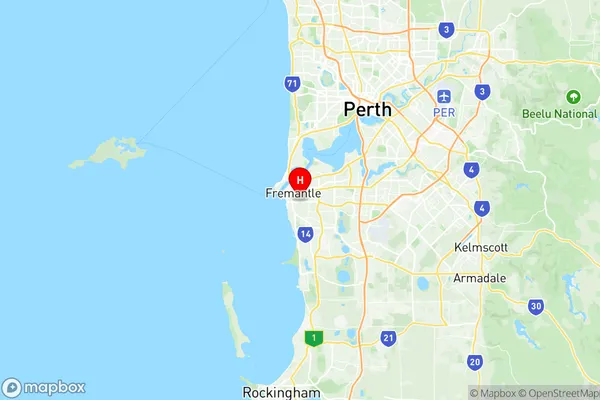
Fremantle Suburbs & Region, Fremantle Map & Postcodes
Fremantle Suburbs & Region, Fremantle Map & Postcodes in Fremantle, Perth South West, WA, AU
Fremantle Region
Region Name
Fremantle (WA, AU)Fremantle Area
29.54 square kilometers (29.54 ㎢)Postal Codes
from 6159 to 6162, and 6959 (In total, there are 5 postcodes in Fremantle.)Fremantle Introduction
Fremantle is a port city and the administrative center of the Western Australian local government area of the City of Fremantle. It is located 20 km (12 mi) south of Perth's central business district (CBD) on the southern shore of the Indian Ocean. Fremantle has a population of 210,000 people and is the fifth-most populous city in Western Australia. The city is known for its historic port, which is one of the oldest in the world, and its cultural heritage, including its many museums and galleries. Fremantle also has a vibrant arts and music scene, with numerous festivals and events held throughout the year.Australia State
City or Big Region
Greater Capital City
Greater Perth (5GPER)District or Regional Area
Suburb Name
Fremantle Region Map

Fremantle Postcodes / Zip Codes
Fremantle Suburbs
Fremantle full address
Fremantle, Perth South West, Western Australia, WA, Australia, SaCode: 507021165Country
Fremantle, Perth South West, Western Australia, WA, Australia, SaCode: 507021165
Fremantle Suburbs & Region, Fremantle Map & Postcodes has 0 areas or regions above, and there are 5 Fremantle suburbs below. The sa2code for the Fremantle region is 507021165. Its latitude and longitude coordinates are -32.0614,115.768. Fremantle area belongs to Australia's greater capital city Greater Perth.
Fremantle Suburbs & Localities
1. White Gum Valley
2. North Fremantle
3. Fremantle
4. Rottnest Island
5. Fremantle
