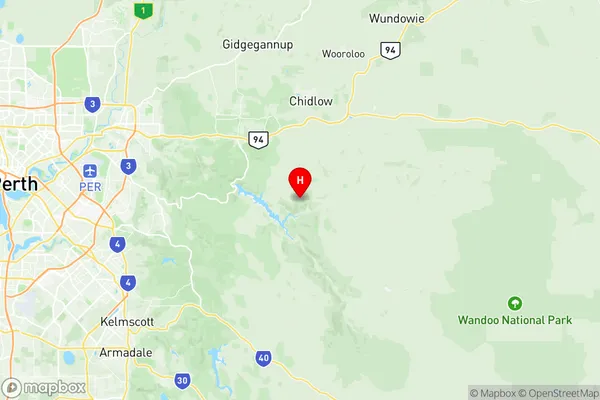
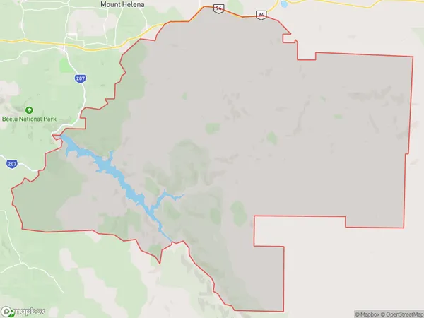
Malmalling Reservoir Suburbs & Region, Malmalling Reservoir Map & Postcodes
Malmalling Reservoir Suburbs & Region, Malmalling Reservoir Map & Postcodes in Malmalling Reservoir, Kalamunda, Perth South East, WA, AU
Malmalling Reservoir Region
Region Name
Malmalling Reservoir (WA, AU)Malmalling Reservoir Area
318.39 square kilometers (318.39 ㎢)Postal Codes
6074, 6076, and 6556 (In total, there are 3 postcodes in Malmalling Reservoir.)Malmalling Reservoir Introduction
Malmalling Reservoir is a large water storage facility located in the Perth South East region of Western Australia. It was constructed in the 1960s and 1970s to provide water supply to the Perth metropolitan area. The reservoir is surrounded by picturesque natural scenery, including forests and farmland. The reservoir is also home to a variety of wildlife, including birds, fish, and mammals. Visitors can enjoy walking, cycling, and picnicking around the reservoir. The reservoir is also a popular spot for water-based activities such as boating and fishing.Australia State
City or Big Region
Greater Capital City
Greater Perth (5GPER)District or Regional Area
Suburb Name
Malmalling Reservoir Region Map

Malmalling Reservoir Postcodes / Zip Codes
Malmalling Reservoir Suburbs
Malmalling Reservoir full address
Malmalling Reservoir, Kalamunda, Perth South East, Western Australia, WA, Australia, SaCode: 504021052Country
Malmalling Reservoir, Kalamunda, Perth South East, Western Australia, WA, Australia, SaCode: 504021052
Malmalling Reservoir Suburbs & Region, Malmalling Reservoir Map & Postcodes has 0 areas or regions above, and there are 5 Malmalling Reservoir suburbs below. The sa2code for the Malmalling Reservoir region is 504021052. Its latitude and longitude coordinates are -31.9748,116.254. Malmalling Reservoir area belongs to Australia's greater capital city Greater Perth.
Malmalling Reservoir Suburbs & Localities
1. Sawyers Valley
2. Reservoir
3. Malmalling
4. The Lakes
5. Gorrie
