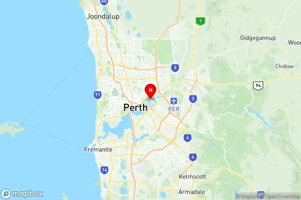
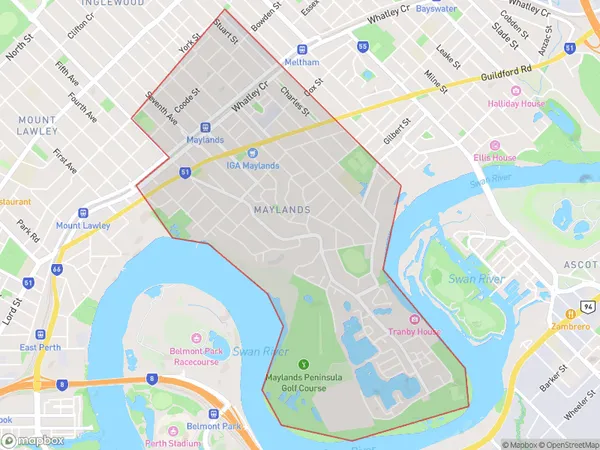
Maylands Suburbs & Region, Maylands Map & Postcodes
Maylands Suburbs & Region, Maylands Map & Postcodes in Maylands, Bayswater Bassendean, Perth North East, WA, AU
Maylands Region
Region Name
Maylands (WA, AU)Maylands Area
5.02 square kilometers (5.02 ㎢)Postal Codes
6051, and 6931 (In total, there are 2 postcodes in Maylands.)Maylands Introduction
Maylands is a suburb of Perth, the capital city of Western Australia, located in the North East region. It is situated approximately 10 kilometers northeast of Perth's central business district (CBD) and is part of the City of Bayswater. Maylands is a diverse suburb with a mix of residential, commercial, and industrial areas. The suburb has a large population, with an estimated population of over 20,000 people as of 2016. It is known for its well-maintained parks, including the Maylands Reserve, which features a playground, walking trails, and a lake. The suburb is also home to a number of major shopping centers, including the Maylands Shopping Centre and the Lakeside Shopping City. There are also several schools, including Maylands Primary School, St. John's Primary School, and John XXIII College. Maylands is well-connected to the rest of Perth via public transport, with several bus routes and the Midland Train Station located within the suburb. The suburb is also close to the Perth Airport and the Perth CBD, making it an ideal location for those who work in the city or travel frequently.Australia State
City or Big Region
Greater Capital City
Greater Perth (5GPER)District or Regional Area
Suburb Name
Maylands Region Map

Maylands Postcodes / Zip Codes
Maylands Suburbs
Maylands full address
Maylands, Bayswater Bassendean, Perth North East, Western Australia, WA, Australia, SaCode: 504011046Country
Maylands, Bayswater Bassendean, Perth North East, Western Australia, WA, Australia, SaCode: 504011046
Maylands Suburbs & Region, Maylands Map & Postcodes has 0 areas or regions above, and there are 2 Maylands suburbs below. The sa2code for the Maylands region is 504011046. Its latitude and longitude coordinates are -31.9383,115.902. Maylands area belongs to Australia's greater capital city Greater Perth.
Maylands Suburbs & Localities
1. Maylands
2. Maylands
