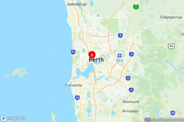
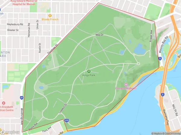
Kings Park (WA) Suburbs & Region, Kings Park (WA) Map & Postcodes
Kings Park (WA) Suburbs & Region, Kings Park (WA) Map & Postcodes in Kings Park (WA), Perth City, Perth Inner, WA, AU
Kings Park (WA) Region
Region Name
Kings Park (WA) (WA, AU)Kings Park (WA) Area
4.18 square kilometers (4.18 ㎢)Postal Codes
6005 (In total, there are 1 postcodes in Kings Park (WA).)Kings Park (WA) Introduction
Kings Park is a suburb of Perth, the capital city of Western Australia, and is located within the City of Perth local government area. It is situated approximately 6 kilometers from Perth's central business district (CBD) and is known for its lush gardens, scenic parks, and vibrant community. Kings Park is home to a variety of flora and fauna, including the Western Australian Museum, which houses a collection of over 2 million artifacts and specimens. The park also features the State War Memorial, which commemorates the soldiers who served in World War I and II, and the Sir James Mitchell Park, which is a popular spot for picnics and barbecues. The suburb has a strong sense of community, with a variety of recreational facilities and events held throughout the year. The Kings Park Festival, held in September, is a popular event that includes live music, food stalls, and carnival rides. The suburb also has a number of schools, including Kings Park Primary School and John Curtin College of the Arts, which are among the top performing schools in Western Australia. Kings Park is well-connected to the rest of Perth, with public transport options including buses and trains. The suburb is also home to a number of major roads, including the Western Highway and the Great Eastern Highway, which make it easy to access other parts of the city and the surrounding region.Australia State
City or Big Region
Greater Capital City
Greater Perth (5GPER)District or Regional Area
Suburb Name
Kings Park (WA) Region Map

Kings Park (WA) Postcodes / Zip Codes
Kings Park (WA) Suburbs
Kings Park (WA) full address
Kings Park (WA), Perth City, Perth Inner, Western Australia, WA, Australia, SaCode: 503021037Country
Kings Park (WA), Perth City, Perth Inner, Western Australia, WA, Australia, SaCode: 503021037
Kings Park (WA) Suburbs & Region, Kings Park (WA) Map & Postcodes has 0 areas or regions above, and there are 1 Kings Park (WA) suburbs below. The sa2code for the Kings Park (WA) region is 503021037. Its latitude and longitude coordinates are -31.9611,115.842. Kings Park (WA) area belongs to Australia's greater capital city Greater Perth.
Kings Park (WA) Suburbs & Localities
1. Kings Park
