Withers Usher Suburbs & Region, Withers Usher Map & Postcodes
Withers Usher Suburbs & Region, Withers Usher Map & Postcodes in Withers Usher, Bunbury, WA, AU
Withers Usher Region
Region Name
Withers Usher (WA, AU)Withers Usher Area
8.22 square kilometers (8.22 ㎢)Postal Codes
6230 (In total, there are 1 postcodes in Withers Usher.)Withers Usher Introduction
Withers Usher is a heritage-listed site located in Bunbury, Western Australia, AU. It is a house built in 1860 by James Withers for his son, also named James Withers. The house is a two-story building made of timber and has a hipped roof with corrugated iron sheets. It features a verandah around the entire perimeter and a central hallway with bedrooms on either side. The house has been preserved and is now used as a museum and cultural center. It is a significant example of the colonial architecture of the period and is a popular tourist attraction in the region.Australia State
City or Big Region
Greater Capital City
Rest of WA (5RWAU)District or Regional Area
Suburb Name
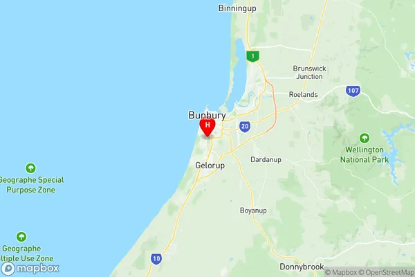
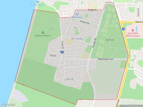
Withers Usher Region Map

Withers Usher Postcodes / Zip Codes
Withers Usher Suburbs
Withers Usher full address
Withers Usher, Bunbury, Western Australia, WA, Australia, SaCode: 501021254Country
Withers Usher, Bunbury, Western Australia, WA, Australia, SaCode: 501021254
Withers Usher Suburbs & Region, Withers Usher Map & Postcodes has 0 areas or regions above, and there are 2 Withers Usher suburbs below. The sa2code for the Withers Usher region is 501021254. Its latitude and longitude coordinates are -33.3654,115.638. Withers Usher area belongs to Australia's greater capital city Rest of WA.
Withers Usher Suburbs & Localities
1. Usher
2. Withers
