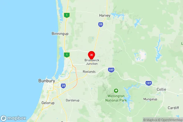
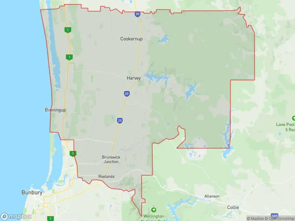
Harvey Suburbs & Region, Harvey Map & Postcodes
Harvey Suburbs & Region, Harvey Map & Postcodes in Harvey, Bunbury, WA, AU
Harvey Region
Region Name
Harvey (WA, AU)Harvey Area
1661 square kilometers (1,661 ㎢)Postal Codes
6218, 6220, 6221, 6223, 6224, 6226, and 6233 (In total, there are 7 postcodes in Harvey.)Harvey Introduction
Harvey is a town in the South West region of Western Australia, 215 kilometers south of Perth, the state capital. It is part of the Bunbury Region and is located within the City of Bunbury local government area. Harvey is known for its agricultural industry, with many farms and wineries in the surrounding area. The town also has a significant industrial sector, with a port and a manufacturing plant. The population of Harvey is approximately 20,000 people. The town has a number of amenities, including a hospital, a shopping center, and a variety of recreational facilities. The nearby Harvey Bay is a popular tourist destination, known for its beautiful beaches and crystal-clear waters.Australia State
City or Big Region
Greater Capital City
Rest of WA (5RWAU)District or Regional Area
Suburb Name
Harvey Region Map

Harvey Postcodes / Zip Codes
Harvey Suburbs
Harvey full address
Harvey, Bunbury, Western Australia, WA, Australia, SaCode: 501021014Country
Harvey, Bunbury, Western Australia, WA, Australia, SaCode: 501021014
Harvey Suburbs & Region, Harvey Map & Postcodes has 0 areas or regions above, and there are 15 Harvey suburbs below. The sa2code for the Harvey region is 501021014. Its latitude and longitude coordinates are -33.2525,115.839. Harvey area belongs to Australia's greater capital city Rest of WA.
Harvey Suburbs & Localities
1. Hoffman
2. Uduc
3. Yarloop
4. Harvey
5. Wellesley
6. Myalup
7. Mornington
8. Wokalup
9. Benger
10. Beela
11. Roelands
12. Warawarrup
13. Brunswick
14. Binningup
15. Parkfield
