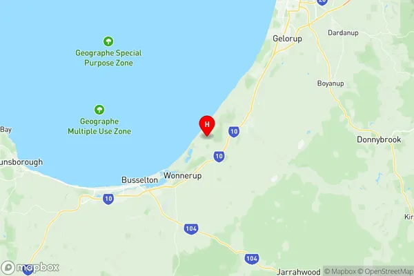
Capel Suburbs & Region, Capel Map & Postcodes
Capel Suburbs & Region, Capel Map & Postcodes in Capel, Bunbury, WA, AU
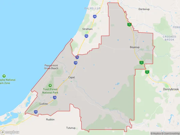
Capel Region
Region Name
Capel (WA, AU)Capel Area
507.06 square kilometers (507.06 ㎢)Capel Introduction
Capel is a suburb of the City of Bunbury in Western Australia, 20 km south of Bunbury's central business district. It is part of the City of Bunbury local government area. The suburb was named after Capel, a town in the English county of Norfolk. Capel was founded in 1834 and was named after the Earl of Capel, who was a member of the British Parliament. The suburb of Capel has a population of around 1,500 people and is home to a number of historic buildings, including the Capel Post Office, which was built in 1891. The suburb is also home to the Capel Primary School, which was established in 1926.Australia State
City or Big Region
Greater Capital City
Rest of WA (5RWAU)District or Regional Area
Suburb Name
Capel Region Map

Capel Suburbs
Capel full address
Capel, Bunbury, Western Australia, WA, Australia, SaCode: 501021007Country
Capel, Bunbury, Western Australia, WA, Australia, SaCode: 501021007
Capel Suburbs & Region, Capel Map & Postcodes has 0 areas or regions above, and there are 0 Capel suburbs below. The sa2code for the Capel region is 501021007. Its latitude and longitude coordinates are -33.575,115.483. Capel area belongs to Australia's greater capital city Rest of WA.
