Roxby Downs Suburbs & Region, Roxby Downs Map & Postcodes
Roxby Downs Suburbs & Region, Roxby Downs Map & Postcodes in Roxby Downs, Outback North and East, South Australia Outback, SA, AU
Roxby Downs Region
Region Name
Roxby Downs (SA, AU)Roxby Downs Area
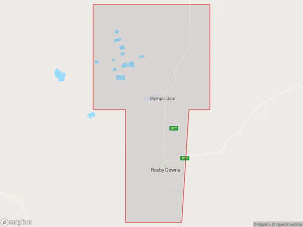
288.36 square kilometers (288.36 ㎢)Postal Codes
5725 (In total, there are 1 postcodes in Roxby Downs.)Roxby Downs Introduction
Roxby Downs is a pastoral station located in the South Australian Outback, about 350 kilometers north of Adelaide. It is one of the largest stations in Australia and is home to a herd of over 25,000 cattle. The station was established in 1883 and has been owned and operated by the same family for several generations. Roxby Downs is known for its high-quality beef and has a reputation for sustainable farming practices. The station also offers tours and other attractions for visitors, including a wildlife park, a museum, and a golf course.Australia State
City or Big Region
Greater Capital City
Rest of SA (4RSAU)District or Regional Area
Suburb Name
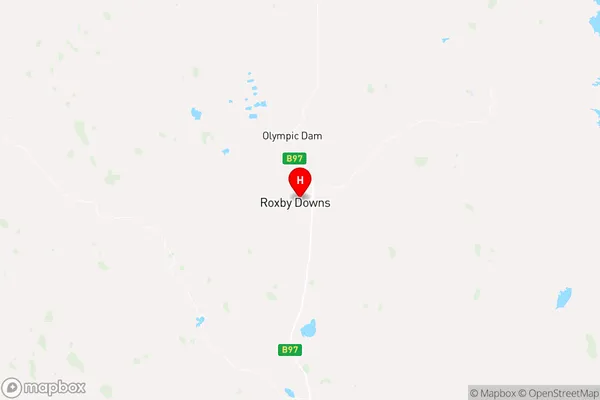
Roxby Downs Region Map

Roxby Downs Postcodes / Zip Codes
Roxby Downs Suburbs
Roxby Downs full address
Roxby Downs, Outback North and East, South Australia Outback, South Australia, SA, Australia, SaCode: 406021143Country
Roxby Downs, Outback North and East, South Australia Outback, South Australia, SA, Australia, SaCode: 406021143
Roxby Downs Suburbs & Region, Roxby Downs Map & Postcodes has 0 areas or regions above, and there are 2 Roxby Downs suburbs below. The sa2code for the Roxby Downs region is 406021143. Its latitude and longitude coordinates are -30.5621,136.901. Roxby Downs area belongs to Australia's greater capital city Rest of SA.
Roxby Downs Suburbs & Localities
1. Olympic Dam
2. Roxby Downs
