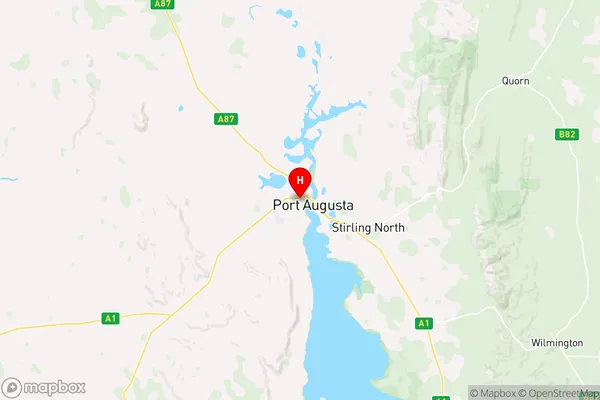
Port Augusta Suburbs & Region, Port Augusta Map & Postcodes
Port Augusta Suburbs & Region, Port Augusta Map & Postcodes in Port Augusta, Outback North and East, South Australia Outback, SA, AU
Port Augusta Region
Region Name
Port Augusta (SA, AU)Port Augusta Area
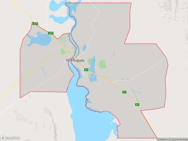
253.9 square kilometers (253.9 ㎢)Port Augusta Introduction
Port Augusta is a city in South Australia's Far North region. It is the administrative center of the Flinders Ranges Council and the birthplace of the Outback Trail. The town is situated on the Augusta Highway, which connects Adelaide to Darwin in the Northern Territory. The nearby Iron Knob and Mount Augustus are two well-known landmarks. The Flinders Ranges, the largest mountain range in South Australia, are located to the north of the town. The town has a population of around 2,000 people and is a popular stopover for travelers heading to the Northern Territory or the Outback.Australia State
City or Big Region
Greater Capital City
Rest of SA (4RSAU)District or Regional Area
Suburb Name
Port Augusta Region Map

Port Augusta Suburbs
Port Augusta full address
Port Augusta, Outback North and East, South Australia Outback, South Australia, SA, Australia, SaCode: 406021142Country
Port Augusta, Outback North and East, South Australia Outback, South Australia, SA, Australia, SaCode: 406021142
Port Augusta Suburbs & Region, Port Augusta Map & Postcodes has 0 areas or regions above, and there are 0 Port Augusta suburbs below. The sa2code for the Port Augusta region is 406021142. Its latitude and longitude coordinates are -32.4851,137.746. Port Augusta area belongs to Australia's greater capital city Rest of SA.
