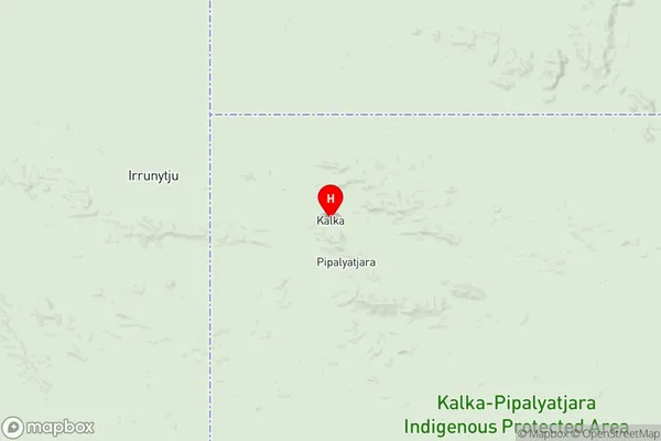
APY Lands Suburbs & Region, APY Lands Map & Postcodes
APY Lands Suburbs & Region, APY Lands Map & Postcodes in APY Lands, Outback North and East, South Australia Outback, SA, AU
APY Lands Region
Region Name
APY Lands (SA, AU)APY Lands Area
102359 square kilometers (102,359 ㎢)APY Lands Introduction
The APY Lands, also known as the Anangu Pitjantjatjara Yankunytjatjara Lands, are a remote and arid region in South Australia. It is home to the Anangu Pitjantjatjara Yankunytjatjara people, who are the traditional owners of the land. The region covers an area of approximately 171,000 square kilometers and is characterized by its red sand dunes, rocky outcrops, and dry creek beds. The APY Lands are known for their rich cultural heritage and traditional practices, including painting, storytelling, and music. The region is also home to a number of important archaeological sites, including Mungo National Park, which is a World Heritage Site. The APY Lands are a challenging environment to live in, with extreme temperatures, limited access to infrastructure, and a lack of employment opportunities. However, the Anangu Pitjantjatjara Yankunytjatjara people have a strong sense of community and continue to practice their culture and traditions in the face of adversity.Australia State
City or Big Region
Greater Capital City
Rest of SA (4RSAU)District or Regional Area
Suburb Name
APY Lands Region Map

APY Lands Suburbs
APY Lands full address
APY Lands, Outback North and East, South Australia Outback, South Australia, SA, Australia, SaCode: 406021138Country
APY Lands, Outback North and East, South Australia Outback, South Australia, SA, Australia, SaCode: 406021138
APY Lands Suburbs & Region, APY Lands Map & Postcodes has 0 areas or regions above, and there are 0 APY Lands suburbs below. The sa2code for the APY Lands region is 406021138. Its latitude and longitude coordinates are -26.1171,129.152. APY Lands area belongs to Australia's greater capital city Rest of SA.
