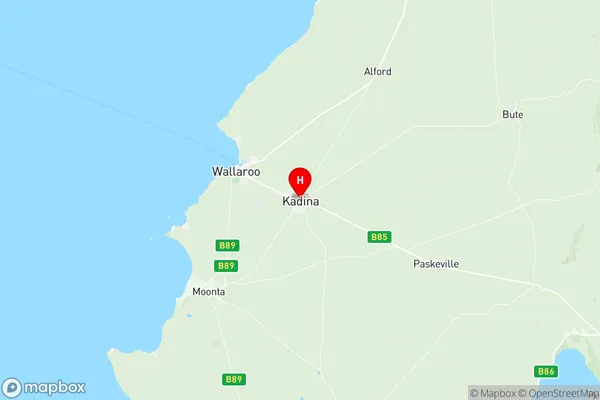
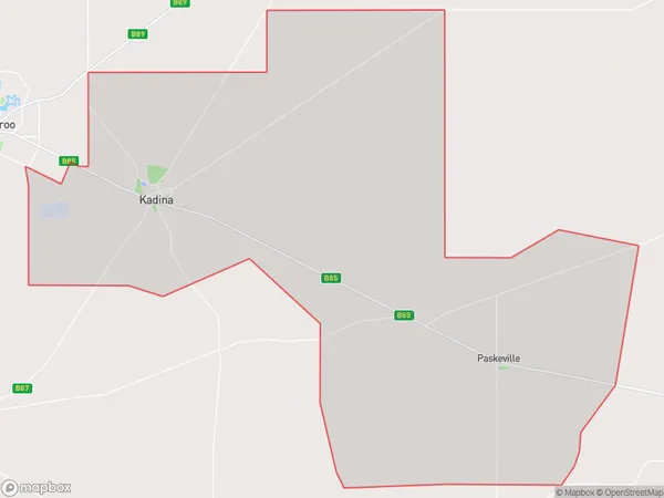
Kadina Suburbs & Region, Kadina Map & Postcodes
Kadina Suburbs & Region, Kadina Map & Postcodes in Kadina, Yorke Peninsula, Barossa Yorke Mid North, SA, AU
Kadina Region
Region Name
Kadina (SA, AU)Kadina Area
394.12 square kilometers (394.12 ㎢)Postal Codes
5552, and 5554 (In total, there are 2 postcodes in Kadina.)Kadina Introduction
Kadina is a town in South Australia's Barossa Valley. It is located in the City of Charles Sturt and is approximately 23 kilometers southeast of the state capital, Adelaide. The town is known for its historic stone buildings, including the Kadina railway station, which is listed on the South Australian Heritage Register. Kadina is also home to the Kadina Airport, which provides regular flights to Adelaide and other regional destinations. The town has a population of around 3,000 people and is surrounded by farmland and vineyards. The nearby Penola Conservation Park offers a range of outdoor activities, including hiking, camping, and wildlife watching.Australia State
City or Big Region
Greater Capital City
Rest of SA (4RSAU)District or Regional Area
Suburb Name
Kadina Region Map

Kadina Postcodes / Zip Codes
Kadina Suburbs
Kadina full address
Kadina, Yorke Peninsula, Barossa Yorke Mid North, South Australia, SA, Australia, SaCode: 405041124Country
Kadina, Yorke Peninsula, Barossa Yorke Mid North, South Australia, SA, Australia, SaCode: 405041124
Kadina Suburbs & Region, Kadina Map & Postcodes has 0 areas or regions above, and there are 10 Kadina suburbs below. The sa2code for the Kadina region is 405041124. Its latitude and longitude coordinates are -33.9633,137.715. Kadina area belongs to Australia's greater capital city Rest of SA.
Kadina Suburbs & Localities
1. Jerusalem
2. Matta Flat
3. Jericho
4. Paskeville
5. Thrington
6. Kadina
7. Wallaroo Mines
8. New Town
9. Thomas Plains
10. Willamulka
