Light Suburbs & Region, Light Map & Postcodes
Light Suburbs & Region, Light Map & Postcodes in Light, Lower North, Barossa Yorke Mid North, SA, AU
Light Region
Region Name
Light (SA, AU)Light Area
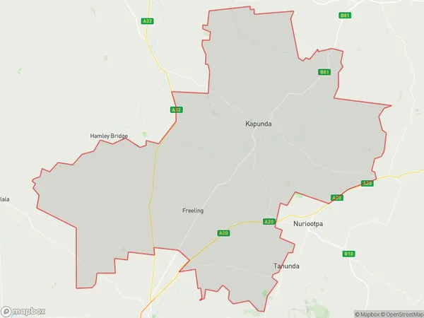
1112 square kilometers (1,112 ㎢)Light Introduction
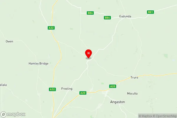
Light is a locality in the Barossa Valley, South Australia. It is located about 35 km north of Tanunda and 130 km south of Adelaide. The town was established in 1848 and named after the Light family, who were early settlers. Light is known for its wine production, with many wineries located in the surrounding area. The town has a population of around 300 people and is a popular tourist destination. The Light Conservation Reserve is a protected area located in the town, which is home to a variety of native plants and animals.Australia State
City or Big Region
Greater Capital City
Rest of SA (4RSAU)District or Regional Area
Suburb Name
Light Region Map

Light Suburbs
Light full address
Light, Lower North, Barossa Yorke Mid North, South Australia, SA, Australia, SaCode: 405011111Country
Light, Lower North, Barossa Yorke Mid North, South Australia, SA, Australia, SaCode: 405011111
Light Suburbs & Region, Light Map & Postcodes has 0 areas or regions above, and there are 0 Light suburbs below. The sa2code for the Light region is 405011111. Its latitude and longitude coordinates are -34.3385,138.914. Light area belongs to Australia's greater capital city Rest of SA.
