Bethel Area, Bethel Postcode(5373) & Map in Bethel, Barossa - Yorke - Mid North, SA
Bethel Area, Bethel Postcode(5373) & Map in Bethel, Barossa - Yorke - Mid North, SA, AU, Postcode: 5373
Bethel, Light, Barossa, Barossa - Yorke - Mid North, South Australia, Australia, 5373
Bethel Postcode
Area Name
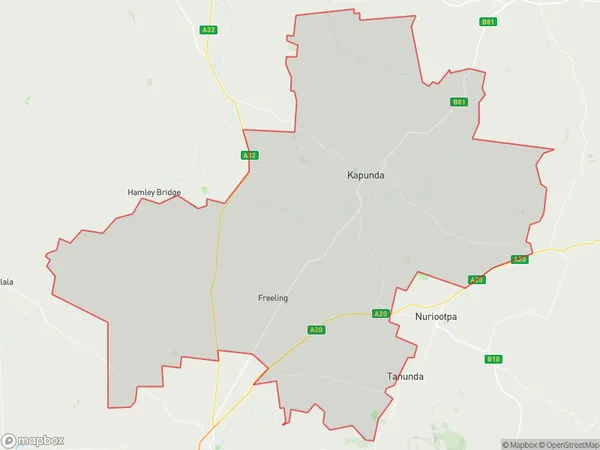
BethelBethel Suburb Area Map (Polygon)
Bethel Introduction
Bethel is a town in the Barossa - Yorke - Mid North region of South Australia, Australia. It is known for its wine production and is home to several wineries. The town has a population of approximately 1,500 people and is located approximately 100 kilometers north of Adelaide.State Name
City or Big Region
District or Regional Area
Suburb Name
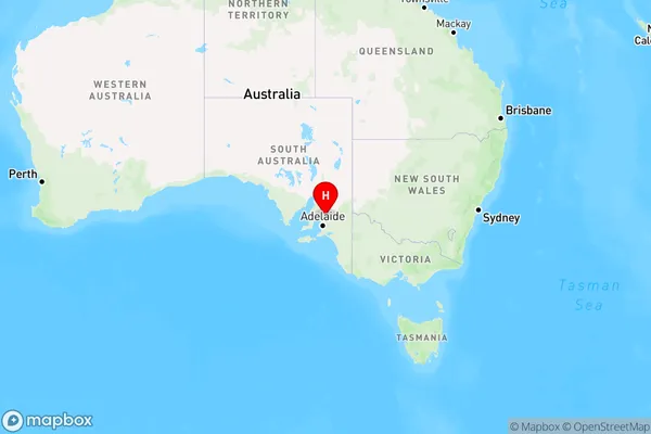
Bethel Region Map
Country
Main Region in AU
R3Coordinates
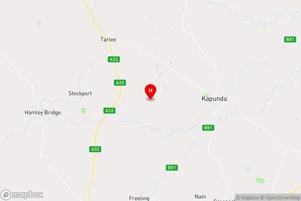
-34.342105,138.8287376 (latitude/longitude)Bethel Area Map (Street)
Longitude
138.930335Latitude
-34.303007Bethel Elevation
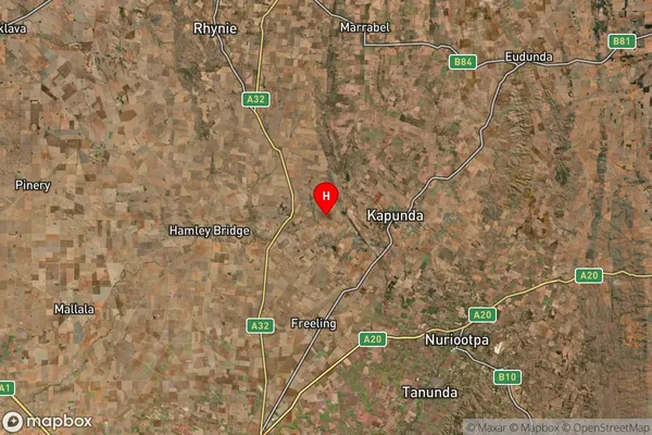
about 279.65 meters height above sea level (Altitude)Bethel Suburb Map (Satellite)
Distances
The distance from Bethel, Barossa - Yorke - Mid North, SA to AU Greater Capital CitiesSA1 Code 2011
40501111125SA1 Code 2016
40501111125SA2 Code
405011111SA3 Code
40501SA4 Code
405RA 2011
2RA 2016
2MMM 2015
5MMM 2019
5Charge Zone
S2LGA Region
LightLGA Code
43650Electorate
Barker