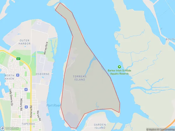
Torrens Island Suburbs & Region, Torrens Island Map & Postcodes
Torrens Island Suburbs & Region, Torrens Island Map & Postcodes in Torrens Island, Port Adelaide West, Adelaide West, SA, AU
Torrens Island Region
Region Name
Torrens Island (SA, AU)Torrens Island Area
8.83 square kilometers (8.83 ㎢)Torrens Island Introduction
Torrens Island is a suburb of Adelaide, South Australia, located on the northern shore of the St. Vincent Gulf. It is known for its beaches, parks, and recreational facilities, including the Torrens Island Aquatic Centre and the Torrens Island Golf Course. The suburb has a population of around 10,000 people and is located approximately 10 kilometres from the Adelaide city centre. It is surrounded by the Gulf St. Vincent and the Marion Bay, and is home to a variety of wildlife, including pelicans, seagulls, and dolphins.Australia State
City or Big Region
Greater Capital City
Greater Adelaide (4GADE)District or Regional Area
Suburb Name
Torrens Island Suburbs
Torrens Island full address
Torrens Island, Port Adelaide West, Adelaide West, South Australia, SA, Australia, SaCode: 404021103Country
Torrens Island, Port Adelaide West, Adelaide West, South Australia, SA, Australia, SaCode: 404021103
Torrens Island Suburbs & Region, Torrens Island Map & Postcodes has 0 areas or regions above, and there are 0 Torrens Island suburbs below. The sa2code for the Torrens Island region is 404021103. Torrens Island area belongs to Australia's greater capital city Greater Adelaide.
