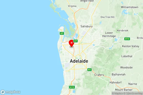
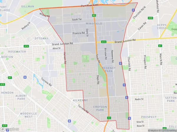
The Parks Suburbs & Region, The Parks Map & Postcodes
The Parks Suburbs & Region, The Parks Map & Postcodes in The Parks, Port Adelaide West, Adelaide West, SA, AU
The Parks Region
Region Name
The Parks (SA, AU)The Parks Area
18.26 square kilometers (18.26 ㎢)Postal Codes
5008, 5010, 5012, 5013, and 5942 (In total, there are 5 postcodes in The Parks.)The Parks Introduction
The Parks is a suburb of Adelaide, South Australia, located in the City of Charles Sturt. It is named after Sir John Langdon Bonython, who was the Governor of South Australia from 1899 to 1901. The suburb is located in the western part of Adelaide and is bordered by the suburbs of Marion, West Lakes, and Henley Beach. The Parks is a popular residential area with a mix of single-family homes, apartments, and townhouses. It is known for its tree-lined streets, parks, and recreational facilities, including the John Bonython Park, which is a popular spot for picnics and barbecues. The suburb also has a shopping center, a medical center, and several schools. The Parks is well-connected to the rest of Adelaide via public transport, with several bus routes and the Marion Train Station located within the suburb. The suburb is also close to the Adelaide Airport and the Port Adelaide Enfield Freeway, making it an easy commute to other parts of the city. In conclusion, The Parks is a well-established and popular suburb of Adelaide with a mix of residential and recreational facilities. Its tree-lined streets, parks, and recreational facilities make it an attractive place to live, and its convenient location makes it easy to access other parts of the city.Australia State
City or Big Region
Greater Capital City
Greater Adelaide (4GADE)District or Regional Area
Suburb Name
The Parks Region Map

The Parks Postcodes / Zip Codes
The Parks Suburbs
The Parks full address
The Parks, Port Adelaide West, Adelaide West, South Australia, SA, Australia, SaCode: 404021102Country
The Parks, Port Adelaide West, Adelaide West, South Australia, SA, Australia, SaCode: 404021102
The Parks Suburbs & Region, The Parks Map & Postcodes has 0 areas or regions above, and there are 12 The Parks suburbs below. The sa2code for the The Parks region is 404021102. Its latitude and longitude coordinates are -34.864,138.557. The Parks area belongs to Australia's greater capital city Greater Adelaide.
The Parks Suburbs & Localities
1. Croydon Park
2. Croydon Park South
3. Dudley Park
4. Ferryden Park
5. Mansfield Park
6. Devon Park
7. Regency Park
8. Regency Park Bc
9. Woodville Gardens
10. Wingfield
11. Angle Park
12. Regency Park
