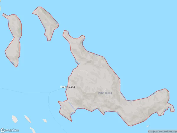
Palm Island Suburbs & Region, Palm Island Map & Postcodes
Palm Island Suburbs & Region, Palm Island Map & Postcodes in Palm Island, Charters Towers Ayr Ingham, Townsville, QLD, AU
Palm Island Region
Region Name
Palm Island (QLD, AU)Palm Island Area
71.99 square kilometers (71.99 ㎢)Palm Island Introduction
Palm Island is a tropical paradise located in the heart of Townsville, Queensland, Australia. It is a popular holiday destination known for its pristine beaches, crystal-clear waters, and lush tropical vegetation. The island is home to a diverse range of wildlife, including crocodiles, turtles, and exotic birds. Visitors can enjoy a variety of activities, such as snorkeling, fishing, hiking, and kayaking. There are also several luxury resorts and hotels on the island, providing guests with a comfortable and relaxing stay. Palm Island is a perfect escape from the hustle and bustle of city life, offering a peaceful and picturesque environment for a memorable vacation.Australia State
City or Big Region
Greater Capital City
Rest of Qld (3RQLD)District or Regional Area
Suburb Name
Palm Island Suburbs
Palm Island full address
Palm Island, Charters Towers Ayr Ingham, Townsville, Queensland, QLD, Australia, SaCode: 318011466Country
Palm Island, Charters Towers Ayr Ingham, Townsville, Queensland, QLD, Australia, SaCode: 318011466
Palm Island Suburbs & Region, Palm Island Map & Postcodes has 0 areas or regions above, and there are 0 Palm Island suburbs below. The sa2code for the Palm Island region is 318011466. Palm Island area belongs to Australia's greater capital city Rest of Qld.
