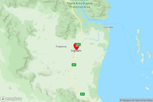
Ingham Suburbs & Region, Ingham Map & Postcodes
Ingham Suburbs & Region, Ingham Map & Postcodes in Ingham, Charters Towers Ayr Ingham, Townsville, QLD, AU
Ingham Region
Region Name
Ingham (QLD, AU)Ingham Area
41.62 square kilometers (41.62 ㎢)Postal Codes
4850 (In total, there are 1 postcodes in Ingham.)Ingham Introduction
Ingham is a locality in the City of Townsville, Queensland, Australia. It is located 10 kilometers northeast of the Townsville central business district. Ingham is a predominantly industrial suburb with a large sugar refinery and a rail yard. The suburb has a population of around 10,000 people and is home to several schools and recreational facilities. The Ingham State School is the major primary school in the area, and the Ingham Institute of Technology is a tertiary education facility. The suburb also has a number of parks and sporting facilities, including a cricket ground, tennis courts, and a swimming pool.Australia State
City or Big Region
Greater Capital City
Rest of Qld (3RQLD)District or Regional Area
Suburb Name
Ingham Region Map

Ingham Postcodes / Zip Codes
Ingham Suburbs
Ingham full address
Ingham, Charters Towers Ayr Ingham, Townsville, Queensland, QLD, Australia, SaCode: 318011464Country
Ingham, Charters Towers Ayr Ingham, Townsville, Queensland, QLD, Australia, SaCode: 318011464
Ingham Suburbs & Region, Ingham Map & Postcodes has 0 areas or regions above, and there are 1 Ingham suburbs below. The sa2code for the Ingham region is 318011464. Its latitude and longitude coordinates are -18.6494,146.162. Ingham area belongs to Australia's greater capital city Rest of Qld.
Ingham Suburbs & Localities
1. Ingham
