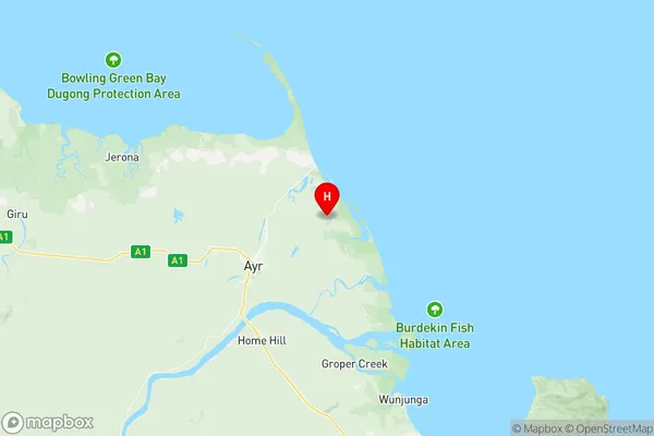
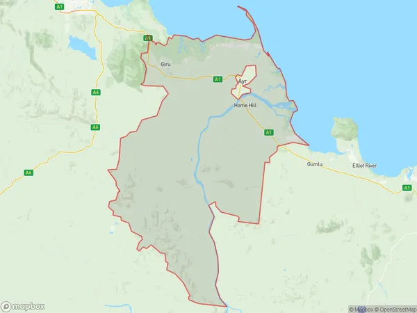
Burdekin Suburbs & Region, Burdekin Map & Postcodes
Burdekin Suburbs & Region, Burdekin Map & Postcodes in Burdekin, Charters Towers Ayr Ingham, Townsville, QLD, AU
Burdekin Region
Region Name
Burdekin (QLD, AU)Burdekin Area
4879 square kilometers (4,879 ㎢)Postal Codes
from 4806 to 4809 (In total, there are 4 postcodes in Burdekin.)Burdekin Introduction
Burdekin is a locality in the City of Townsville, Queensland, Australia. It is located in the northern suburbs of the city and is part of the Mackay-Whitsunday Region. The town was named after William Burdekin, who was the Premier of Queensland from 1899 to 1901. Burdekin is a popular tourist destination and is known for its beautiful beaches, tropical rainforest, and freshwater creeks. The town has a population of around 10,000 people and is home to a number of schools, hospitals, and shopping centers.Australia State
City or Big Region
Greater Capital City
Rest of Qld (3RQLD)District or Regional Area
Suburb Name
Burdekin Region Map

Burdekin Postcodes / Zip Codes
Burdekin Suburbs
Burdekin full address
Burdekin, Charters Towers Ayr Ingham, Townsville, Queensland, QLD, Australia, SaCode: 318011461Country
Burdekin, Charters Towers Ayr Ingham, Townsville, Queensland, QLD, Australia, SaCode: 318011461
Burdekin Suburbs & Region, Burdekin Map & Postcodes has 0 areas or regions above, and there are 40 Burdekin suburbs below. The sa2code for the Burdekin region is 318011461. Its latitude and longitude coordinates are -19.519,147.497. Burdekin area belongs to Australia's greater capital city Rest of Qld.
Burdekin Suburbs & Localities
1. Carstairs
2. Mulgrave
3. Upper Haughton
4. Osborne
5. Claredale
6. Eight Mile Creek
7. Maidavale
8. Millaroo
9. Mount Kelly
10. Brandon
11. Horseshoe Lagoon
12. Jerona
13. Groper Creek
14. Groper Creek Reserve
15. Home Hill
16. Kirknie
17. Rangemore
18. Wangaratta
19. Wunjunga
20. Airdmillan
21. Dalbeg
22. Mona Park
23. Rita Island
24. Rite Island
25. Swans Lagoon
26. Colevale
27. Barratta
28. Cromarty
29. Mount Surround
30. Shirbourne
31. Arkendeith
32. Down River
33. Fredericksfield
34. Inkerman
35. Keebah
36. Airville
37. Alva
38. Clare
39. Jarvisfield
40. Giru
