Narangba Suburbs & Region, Narangba Map & Postcodes
Narangba Suburbs & Region, Narangba Map & Postcodes in Narangba, Narangba Burpengary, Moreton Bay North, QLD, AU
Narangba Region
Region Name
Narangba (QLD, AU)Narangba Area
37.71 square kilometers (37.71 ㎢)Postal Codes
4504 (In total, there are 1 postcodes in Narangba.)Narangba Introduction
Narangba is a suburb in the Moreton Bay Region, Queensland, Australia. It is located 22 kilometers north of Brisbane's central business district and is part of the Caboolture Shire. Narangba is a rapidly growing area with a population of over 11,000 people. It has a variety of shops, restaurants, and recreational facilities, including a shopping center, a golf course, and a sports complex. The suburb is also home to several schools, including a primary school, a high school, and a college. Narangba is well-connected to the rest of the region, with easy access to the Bruce Highway and the North Coast railway line. It is also a short drive to the beaches of the Sunshine Coast and the hinterland of the Brisbane Valley.Australia State
City or Big Region
Greater Capital City
Greater Brisbane (3GBRI)District or Regional Area
Suburb Name
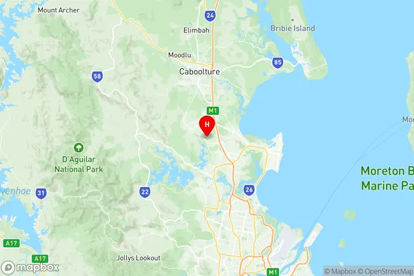
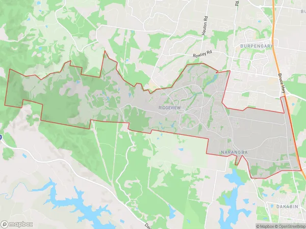
Narangba Region Map

Narangba Postcodes / Zip Codes
Narangba Suburbs
Narangba full address
Narangba, Narangba Burpengary, Moreton Bay North, Queensland, QLD, Australia, SaCode: 313041375Country
Narangba, Narangba Burpengary, Moreton Bay North, Queensland, QLD, Australia, SaCode: 313041375
Narangba Suburbs & Region, Narangba Map & Postcodes has 0 areas or regions above, and there are 1 Narangba suburbs below. The sa2code for the Narangba region is 313041375. Its latitude and longitude coordinates are -27.2016,152.966. Narangba area belongs to Australia's greater capital city Greater Brisbane.
Narangba Suburbs & Localities
1. Narangba
