Roma Suburbs & Region, Roma Map & Postcodes
Roma Suburbs & Region, Roma Map & Postcodes in Roma, Darling Downs (West) Maranoa, Darling Downs Maranoa, QLD, AU
Roma Region
Region Name
Roma (QLD, AU)Roma Area
78.03 square kilometers (78.03 ㎢)Roma Introduction
Roma, Darling Downs Maranoa, Queensland, AU, is a town with a population of 2,202 people. It is located in the Darling Downs region, 146 kilometers southwest of Brisbane, the state capital. The town is named after the Roma people, who are indigenous to the area. The town has a primary school, a post office, a general store, and a community hall. The surrounding area is known for its agriculture, with cotton and wheat being the main crops grown. The town is also home to a number of historic sites, including the Roma Cemetery and the Old Roma Church.Australia State
City or Big Region
Greater Capital City
Rest of Qld (3RQLD)District or Regional Area
Suburb Name
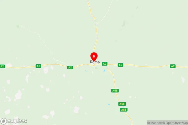
Roma Region Map

Roma Suburbs
Roma full address
Roma, Darling Downs (West) Maranoa, Darling Downs Maranoa, Queensland, QLD, Australia, SaCode: 307011176Country
Roma, Darling Downs (West) Maranoa, Darling Downs Maranoa, Queensland, QLD, Australia, SaCode: 307011176
Roma Suburbs & Region, Roma Map & Postcodes has 0 areas or regions above, and there are 0 Roma suburbs below. The sa2code for the Roma region is 307011176. Its latitude and longitude coordinates are -26.5694,148.784. Roma area belongs to Australia's greater capital city Rest of Qld.
