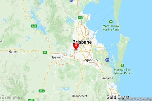
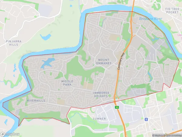
Centenary Suburbs & Region, Centenary Map & Postcodes
Centenary Suburbs & Region, Centenary Map & Postcodes in Centenary, Brisbane West, QLD, AU
Centenary Region
Region Name
Centenary (QLD, AU)Centenary Area
16.98 square kilometers (16.98 ㎢)Postal Codes
4073 (In total, there are 1 postcodes in Centenary.)Centenary Introduction
Centenary is a suburb in the City of Brisbane, Queensland, Australia. It is located 7 kilometers west of the Brisbane CBD and is part of the Centenary Heights district. The suburb was named in honor of the centenary of Queensland's separation from New South Wales in 1901. The suburb has a mix of residential and commercial properties, with many apartments and townhouses. It is home to several parks and recreational facilities, including the Centenary Parklands, which features a lake, walking trails, and playgrounds. The suburb is also home to the Centenary Institute, a private college that offers a range of education and training courses. Transport in the suburb is well-serviced by buses and trains, with the Centenary Parklands railway station located on the South Coast line. The suburb is also convenient for drivers, with easy access to the Bruce Highway and the Centenary Motorway. In summary, Centenary is a well-established suburb with a mix of residential and commercial properties, excellent transport links, and a range of recreational facilities. It is a popular location for families and professionals looking to live in a convenient and comfortable environment.Australia State
City or Big Region
District or Regional Area
Centenary Region Map

Centenary Postcodes / Zip Codes
Centenary Suburbs
Seventeen Mile Rocks Sinnamon Park
Centenary full address
Centenary, Brisbane West, Queensland, QLD, Australia, SaCode: 30401Country
Centenary, Brisbane West, Queensland, QLD, Australia, SaCode: 30401
Centenary Suburbs & Region, Centenary Map & Postcodes has 1 areas or regions above, and there are 2 Centenary suburbs below. The sa3code for the Centenary region is 30401. Its latitude and longitude coordinates are -27.551,152.959.
Centenary Suburbs & Localities
1. Sinnamon Park
2. Seventeen Mile Rocks
