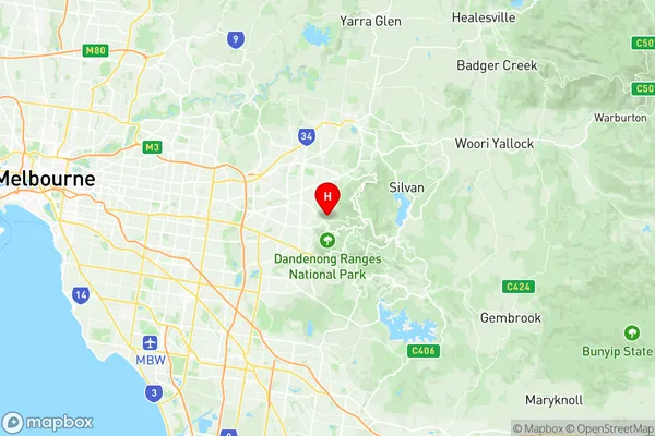
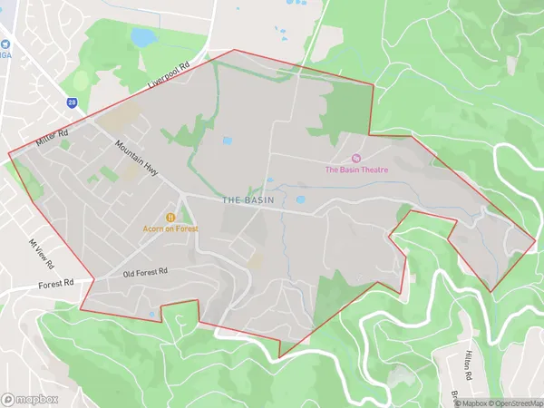
The Basin Suburbs & Region, The Basin Map & Postcodes
The Basin Suburbs & Region, The Basin Map & Postcodes in The Basin, Knox, Melbourne Outer East, VIC, AU
The Basin Region
Region Name
The Basin (VIC, AU)The Basin Area
5.72 square kilometers (5.72 ㎢)The Basin Introduction
The Basin, Melbourne Outer East, Victoria, AU, is a suburb located 11 kilometers east of Melbourne's central business district. It is known for its natural beauty, including the Mount Dandenong Ranges and the Monash University campus. The suburb has a diverse population and is home to many artists, musicians, and professionals. It is also known for its popular cafes, restaurants, and shopping centers. The Basin has a rich cultural heritage and is home to several historic buildings, including the National Trust-listed Chirnside Park. The suburb is well-connected to the rest of Melbourne via public transportation, with several bus and train lines serving it.Australia State
City or Big Region
Greater Capital City
Greater Melbourne (2GMEL)District or Regional Area
Suburb Name
The Basin Region Map

The Basin Suburbs
The Basin full address
The Basin, Knox, Melbourne Outer East, Victoria, VIC, Australia, SaCode: 211011449Country
The Basin, Knox, Melbourne Outer East, Victoria, VIC, Australia, SaCode: 211011449
The Basin Suburbs & Region, The Basin Map & Postcodes has 0 areas or regions above, and there are 0 The Basin suburbs below. The sa2code for the The Basin region is 211011449. Its latitude and longitude coordinates are -37.8535,145.32. The Basin area belongs to Australia's greater capital city Greater Melbourne.
