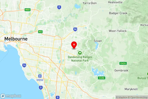
Boronia Suburbs & Region, Boronia Map & Postcodes
Boronia Suburbs & Region, Boronia Map & Postcodes in Boronia, Knox, Melbourne Outer East, VIC, AU
Boronia Region
Region Name
Boronia (VIC, AU)Boronia Area
11.26 square kilometers (11.26 ㎢)Postal Codes
3155 (In total, there are 1 postcodes in Boronia.)Boronia Introduction
Boronia is a suburb in Melbourne's outer east, 10 kilometers east of Melbourne's central business district. It is represented by the Legislative Assembly of Victoria's Eastern Metropolitan Region. The suburb has a population of around 36,000 people. Boronia is named after the Boronia plant, which is native to Australia and is known for its beautiful flowers. The suburb has a variety of shops, restaurants, and parks, including the Boronia Reserve, which is a popular spot for picnics and barbecues. The suburb is also home to several major hospitals, including the Monash Medical Centre and the Epworth Hospital.Australia State
City or Big Region
Greater Capital City
Greater Melbourne (2GMEL)District or Regional Area
Suburb Name
Boronia Region Map

Boronia Postcodes / Zip Codes
Boronia Suburbs
Boronia full address
Boronia, Knox, Melbourne Outer East, Victoria, VIC, Australia, SaCode: 211011446Country
Boronia, Knox, Melbourne Outer East, Victoria, VIC, Australia, SaCode: 211011446
Boronia Suburbs & Region, Boronia Map & Postcodes has 0 areas or regions above, and there are 1 Boronia suburbs below. The sa2code for the Boronia region is 211011446. Its latitude and longitude coordinates are -37.8611,145.287. Boronia area belongs to Australia's greater capital city Greater Melbourne.
Boronia Suburbs & Localities
1. Boronia
