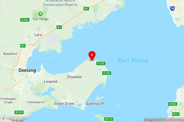
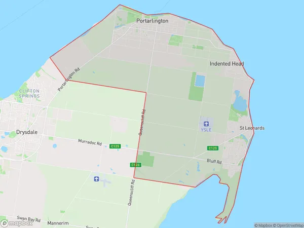
Portarlington Suburbs & Region, Portarlington Map & Postcodes
Portarlington Suburbs & Region, Portarlington Map & Postcodes in Portarlington, Surf Coast Bellarine Peninsula, Geelong, VIC, AU
Portarlington Region
Region Name
Portarlington (VIC, AU)Portarlington Area
71.86 square kilometers (71.86 ㎢)Postal Codes
3221, and 3223 (In total, there are 2 postcodes in Portarlington.)Portarlington Introduction
Portarlington is a coastal town located on the Bellarine Peninsula in Victoria, Australia. It is known for its beautiful beaches, historic buildings, and vibrant community. The town has a population of around 10,000 people and is located about 50 kilometers south-west of Geelong. Portarlington is a popular tourist destination and is home to many popular attractions, including the Portarlington Ferry, the Portarlington Racecourse, and the Portarlington National Golf Club. The town is also known for its seafood, with many restaurants and cafes serving fresh fish and seafood dishes.Australia State
City or Big Region
Greater Capital City
Rest of Vic. (2RVIC)District or Regional Area
Suburb Name
Portarlington Region Map

Portarlington Postcodes / Zip Codes
Portarlington Suburbs
Portarlington full address
Portarlington, Surf Coast Bellarine Peninsula, Geelong, Victoria, VIC, Australia, SaCode: 203031051Country
Portarlington, Surf Coast Bellarine Peninsula, Geelong, Victoria, VIC, Australia, SaCode: 203031051
Portarlington Suburbs & Region, Portarlington Map & Postcodes has 0 areas or regions above, and there are 5 Portarlington suburbs below. The sa2code for the Portarlington region is 203031051. Its latitude and longitude coordinates are -38.1167,144.65. Portarlington area belongs to Australia's greater capital city Rest of Vic..
Portarlington Suburbs & Localities
1. Bellarine
2. Bellarine
3. Indented Head
4. St Leonards
5. Portarlington
