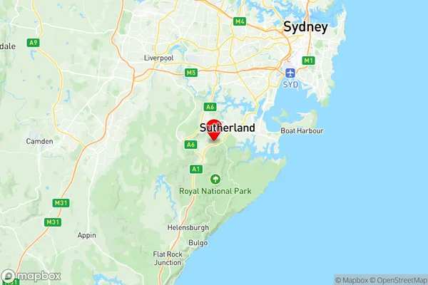
Loftus Yarrawarrah Suburbs & Region, Loftus Yarrawarrah Map & Postcodes
Loftus Yarrawarrah Suburbs & Region, Loftus Yarrawarrah Map & Postcodes in Loftus Yarrawarrah, Sutherland Menai Heathcote, Sydney Sutherland, NSW, AU
Loftus Yarrawarrah Region
Region Name
Loftus Yarrawarrah (NSW, AU)Loftus Yarrawarrah Area
3.84 square kilometers (3.84 ㎢)Postal Codes
2232, and 2233 (In total, there are 2 postcodes in Loftus Yarrawarrah.)Loftus Yarrawarrah Introduction
Loftus Yarrawarrah is a suburb in southern Sydney, in the state of New South Wales, Australia. It is located 28 kilometers south of the Sydney central business district and is part of the Sutherland Shire. Loftus Yarrawarrah is named after the indigenous Yarrawarrah people who are the traditional owners of the land. The suburb has a population of around 11,000 people and is known for its peaceful atmosphere, scenic beaches, and well-maintained parks. It is also home to several important historical sites, including the Loftus Aboriginal Medical Centre and the Loftus railway station.Australia State
City or Big Region
Greater Capital City
Greater Sydney (1GSYD)District or Regional Area
Suburb Name
Loftus Yarrawarrah Region Map

Loftus Yarrawarrah Postcodes / Zip Codes
Loftus Yarrawarrah Suburbs
Loftus Yarrawarrah full address
Loftus Yarrawarrah, Sutherland Menai Heathcote, Sydney Sutherland, New South Wales, NSW, Australia, SaCode: 128021608Country
Loftus Yarrawarrah, Sutherland Menai Heathcote, Sydney Sutherland, New South Wales, NSW, Australia, SaCode: 128021608
Loftus Yarrawarrah Suburbs & Region, Loftus Yarrawarrah Map & Postcodes has 0 areas or regions above, and there are 2 Loftus Yarrawarrah suburbs below. The sa2code for the Loftus Yarrawarrah region is 128021608. Its latitude and longitude coordinates are -34.0552,151.032. Loftus Yarrawarrah area belongs to Australia's greater capital city Greater Sydney.
Loftus Yarrawarrah Suburbs & Localities
1. Loftus
2. Yarrawarrah
