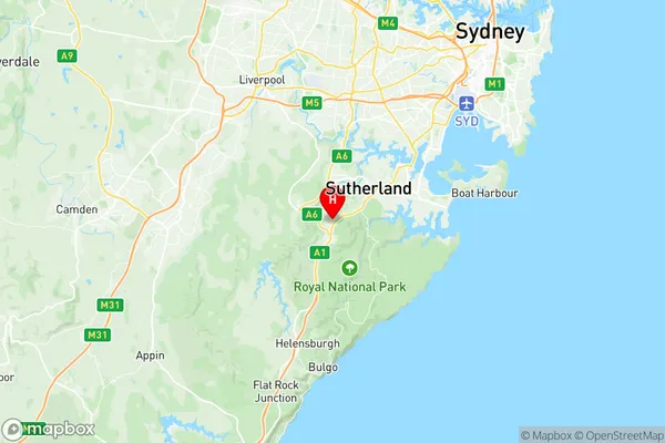
Engadine Suburbs & Region, Engadine Map & Postcodes
Engadine Suburbs & Region, Engadine Map & Postcodes in Engadine, Sutherland Menai Heathcote, Sydney Sutherland, NSW, AU
Engadine Region
Region Name
Engadine (NSW, AU)Engadine Area
8.95 square kilometers (8.95 ㎢)Postal Codes
2233 (In total, there are 1 postcodes in Engadine.)Engadine Introduction
Engadine is a suburb in southern Sydney, in the state of New South Wales, Australia. It is located 26 kilometers south of the Sydney central business district and is part of the Georges River Council. Engadine is known for its peaceful atmosphere, scenic parks, and well-maintained homes. The suburb has a population of around 20,000 people and is home to a variety of shops, restaurants, and community facilities. It is also well-connected to other parts of Sydney, with easy access to the M4 motorway and the South Coast railway line.Australia State
City or Big Region
Greater Capital City
Greater Sydney (1GSYD)District or Regional Area
Suburb Name
Engadine Region Map

Engadine Postcodes / Zip Codes
Engadine Suburbs
Engadine full address
Engadine, Sutherland Menai Heathcote, Sydney Sutherland, New South Wales, NSW, Australia, SaCode: 128021607Country
Engadine, Sutherland Menai Heathcote, Sydney Sutherland, New South Wales, NSW, Australia, SaCode: 128021607
Engadine Suburbs & Region, Engadine Map & Postcodes has 0 areas or regions above, and there are 1 Engadine suburbs below. The sa2code for the Engadine region is 128021607. Its latitude and longitude coordinates are -34.0657,151.013. Engadine area belongs to Australia's greater capital city Greater Sydney.
Engadine Suburbs & Localities
1. Engadine
