Heathcote Waterfall Suburbs & Region, Heathcote Waterfall Map & Postcodes
Heathcote Waterfall Suburbs & Region, Heathcote Waterfall Map & Postcodes in Heathcote Waterfall, Sutherland Menai Heathcote, Sydney Sutherland, NSW, AU
Heathcote Waterfall Region
Region Name
Heathcote Waterfall (NSW, AU)Heathcote Waterfall Area
27.62 square kilometers (27.62 ㎢)Postal Codes
2233 (In total, there are 1 postcodes in Heathcote Waterfall.)Heathcote Waterfall Introduction
Heathcote Waterfall is a waterfall located in the Macleay River catchment, in the Southern Highlands of New South Wales, Australia. It is situated within the Heathcote National Park, and is a popular destination for hikers and nature enthusiasts. The waterfall cascades down a rocky cliff face, creating a picturesque scene that is particularly impressive after rainfall. The surrounding area is rich in flora and fauna, with a variety of bird species and native plants. The waterfall can be accessed via a walking track that leads from the car park, and it is a moderate hike that takes around 30 minutes to complete.Australia State
City or Big Region
Greater Capital City
Greater Sydney (1GSYD)District or Regional Area
Suburb Name
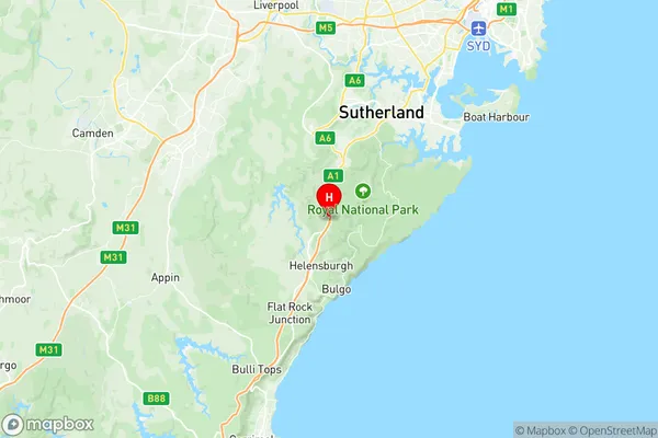
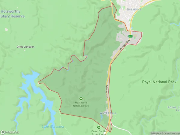
Heathcote Waterfall Region Map

Heathcote Waterfall Postcodes / Zip Codes
Heathcote Waterfall Suburbs
Heathcote Waterfall full address
Heathcote Waterfall, Sutherland Menai Heathcote, Sydney Sutherland, New South Wales, NSW, Australia, SaCode: 128021533Country
Heathcote Waterfall, Sutherland Menai Heathcote, Sydney Sutherland, New South Wales, NSW, Australia, SaCode: 128021533
Heathcote Waterfall Suburbs & Region, Heathcote Waterfall Map & Postcodes has 0 areas or regions above, and there are 2 Heathcote Waterfall suburbs below. The sa2code for the Heathcote Waterfall region is 128021533. Its latitude and longitude coordinates are -34.1424,150.992. Heathcote Waterfall area belongs to Australia's greater capital city Greater Sydney.
Heathcote Waterfall Suburbs & Localities
1. Heathcote
2. Waterfall
