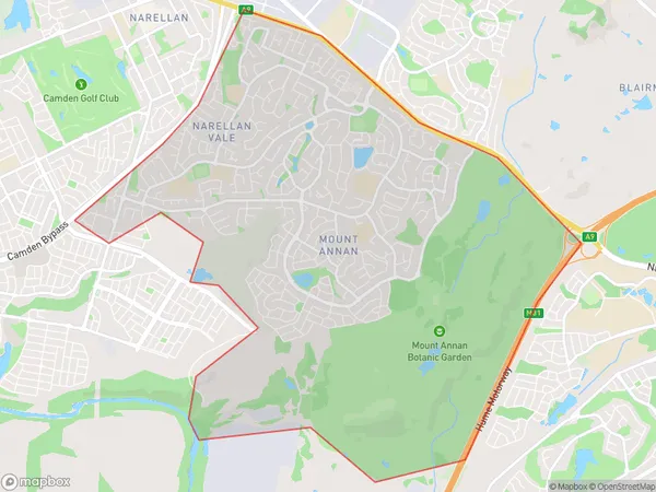
Mount Annan Suburbs & Region, Mount Annan Map & Postcodes
Mount Annan Suburbs & Region, Mount Annan Map & Postcodes in Mount Annan, Camden, Sydney Outer South West, NSW, AU
Mount Annan Region
Region Name
Mount Annan (NSW, AU)Mount Annan Area
13.2 square kilometers (13.2 ㎢)Mount Annan Introduction
Mount Annan is a suburb in the City of Campbelltown of New South Wales, Australia. It is located 36 kilometers south-west of Sydney's central business district and is part of the Macarthur region. The suburb is named after Mount Annan, the highest peak in the Southern Tablelands. Mount Annan has a population of around 11,000 people and is known for its scenic bushland, parks, and recreational facilities. The suburb has a number of schools, including Mount Annan Public School and Mount Annan Christian School. There are also a number of shopping centers, including Mount Annan Marketplace and Mount Annan Shopping Village. The suburb is well-connected to the rest of Sydney, with easy access to the M5 motorway and the South West Rail Line.Australia State
City or Big Region
Greater Capital City
Greater Sydney (1GSYD)District or Regional Area
Suburb Name
Mount Annan Suburbs
Mount Annan full address
Mount Annan, Camden, Sydney Outer South West, New South Wales, NSW, Australia, SaCode: 123011701Country
Mount Annan, Camden, Sydney Outer South West, New South Wales, NSW, Australia, SaCode: 123011701
Mount Annan Suburbs & Region, Mount Annan Map & Postcodes has 0 areas or regions above, and there are 0 Mount Annan suburbs below. The sa2code for the Mount Annan region is 123011701. Mount Annan area belongs to Australia's greater capital city Greater Sydney.
