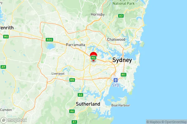
Strathfield Suburbs & Region, Strathfield Map & Postcodes
Strathfield Suburbs & Region, Strathfield Map & Postcodes in Strathfield, Strathfield Burwood Ashfield, Sydney Inner West, NSW, AU
Strathfield Region
Region Name
Strathfield (NSW, AU)Postal Codes
1819, and 2135 (In total, there are 2 postcodes in Strathfield.)Strathfield Introduction
Strathfield is a suburb in Sydney, New South Wales, Australia, 8 km southwest of the Sydney central business district. It is part of the Inner West Council and is located in the local government area of the City of Canada Bay. Strathfield is known for its large population of Asian immigrants and is home to a number of cultural institutions, including the Strathfield Civic Centre and the Strathfield Thai Temple. The suburb has a variety of shopping centers, including the Strathfield Plaza and the Strathfield Garden Village, as well as a number of parks and recreational facilities.Australia State
City or Big Region
District or Regional Area
Suburb Name
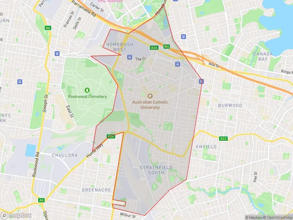
Strathfield Region Map

Strathfield Postcodes / Zip Codes
Strathfield Suburbs
Strathfield full address
Strathfield, Strathfield Burwood Ashfield, Sydney Inner West, New South Wales, NSW, Australia, SaCode: 120031575Country
Strathfield, Strathfield Burwood Ashfield, Sydney Inner West, New South Wales, NSW, Australia, SaCode: 120031575
Strathfield Suburbs & Region, Strathfield Map & Postcodes has 0 areas or regions above, and there are 2 Strathfield suburbs below. The sa2code for the Strathfield region is 120031575. Its latitude and longitude coordinates are -33.8775,151.082.
Strathfield Suburbs & Localities
1. Strathfield
2. Strathfield
