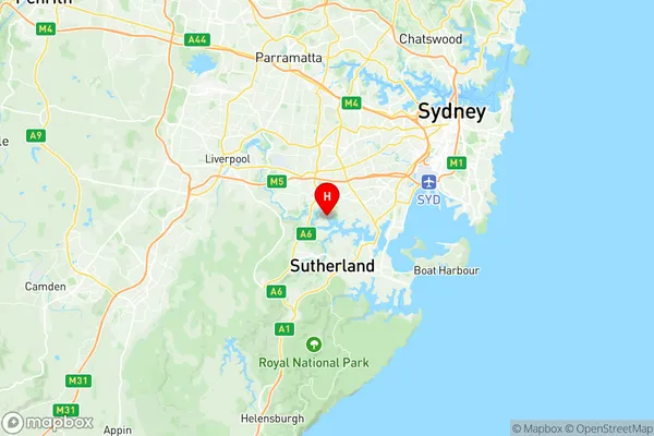
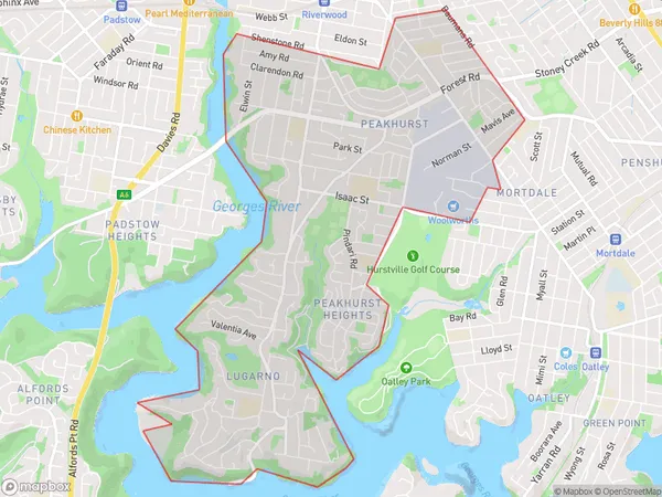
Peakhurst Lugarno Suburbs & Region, Peakhurst Lugarno Map & Postcodes
Peakhurst Lugarno Suburbs & Region, Peakhurst Lugarno Map & Postcodes in Peakhurst Lugarno, Hurstville, Sydney Inner South West, NSW, AU
Peakhurst Lugarno Region
Region Name
Peakhurst Lugarno (NSW, AU)Peakhurst Lugarno Area
7.47 square kilometers (7.47 ㎢)Postal Codes
2210 (In total, there are 1 postcodes in Peakhurst Lugarno.)Peakhurst Lugarno Introduction
Peakhurst Lugarno is a suburb in the southern region of Sydney, New South Wales, Australia. It is located 27 kilometers south of the Sydney central business district and is part of the Georges River Council. Peakhurst Lugarno is known for its beautiful beaches, parks, and recreational facilities, including the Lugarno Golf Club and the Peakhurst Aquatic Centre. The suburb has a population of around 20,000 people and is home to a diverse range of families and individuals.Australia State
City or Big Region
Greater Capital City
Greater Sydney (1GSYD)District or Regional Area
Suburb Name
Peakhurst Lugarno Region Map

Peakhurst Lugarno Postcodes / Zip Codes
Peakhurst Lugarno Suburbs
Peakhurst Lugarno full address
Peakhurst Lugarno, Hurstville, Sydney Inner South West, New South Wales, NSW, Australia, SaCode: 119031372Country
Peakhurst Lugarno, Hurstville, Sydney Inner South West, New South Wales, NSW, Australia, SaCode: 119031372
Peakhurst Lugarno Suburbs & Region, Peakhurst Lugarno Map & Postcodes has 0 areas or regions above, and there are 4 Peakhurst Lugarno suburbs below. The sa2code for the Peakhurst Lugarno region is 119031372. Its latitude and longitude coordinates are -33.9817,151.051. Peakhurst Lugarno area belongs to Australia's greater capital city Greater Sydney.
Peakhurst Lugarno Suburbs & Localities
1. Peakhurst
2. Peakhurst Dc
3. Peakhurst Heights
4. Lugarno
